Enable Location

We need your location to show you interesting places around you

Discover nearby places

Find interesting locations and hidden gems around you

Precise directions

Get accurate directions and distances to places

Your location is never shared with other users. It's only used when you tap the location button.

Log in to your account

Start exploring — it's free

Trusted by 62,420 travelers worldwide

Continue with Google
Continue with Apple
or

We will send you a code to connect

By continuing, you accept our Terms and Conditions and our Privacy Policy

Check your inbox

We've sent a pincode in your inbox. Please enter the code below.

Jumbles Reservoir

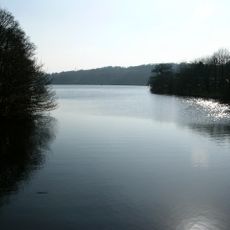
Jumbles Reservoir, lake in the United Kingdom

Jumbles Reservoir is an artificial body of water in a wooded valley north of Bolton that was completed in 1971. Water collects in a basin up to 75 feet deep and is fed by brooks flowing down from two reservoirs situated higher up in the valley.

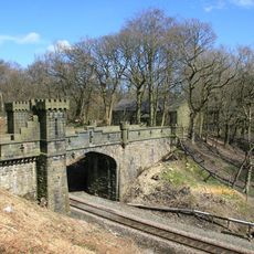
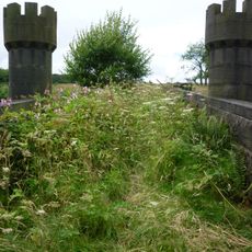
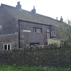
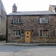
The valley was originally crossed by a brook and served as a water source for nearby factories, particularly the bleachworks of Horrobin Mill from the late 1700s onward. As Bolton's water demand grew, construction of the reservoir began in 1967 and was completed by 1971.

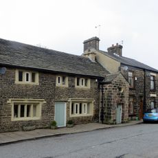
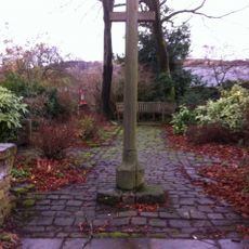
The name Jumbles comes from an old English word for deep wooded valleys. Today the area serves as a place where people escape the bustle of town life to find peace in nature.

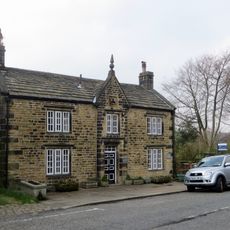
The easy walking trail around the water is about 2.1 miles long and takes around an hour; most sections are flat and suitable for families with pushchairs or people with mobility issues. Pay parking at Bradshaw Road via machine, and a cafe with information centre nearby offers drinks and details about the site's history.

Beneath the water lie the remains of the old Horrobin Mill, and in dry summers parts of the historic factory can sometimes be seen above the surface. A former iron footbridge, now mostly submerged, appears in photographs from 1984 as a silent witness to the area's industrial past.

The community of curious travelers

AroundUs brings together thousands of curated places, local tips, and hidden gems, enriched daily by 60,000 contributors worldwide.

Start exploring
Location
Location
Elevation above the sea
134 m
GPS coordinates
53.62530,-2.40250
Latest update
February 9, 2026 08:23
« Jumbles Reservoir - lake in the United Kingdom » is provided by Around Us (aroundus.com). Images and texts are derived from Wikimedia project under a Creative Commons license. You are allowed to copy, distribute, and modify copies of this page, under the conditions set by the license, as long as this note is clearly visible.

Discover hidden gems everywhere you go!

From secret cafés to breathtaking viewpoints, skip the crowded tourist spots and find places that match your style. Our app makes it easy with voice search, smart filtering, route optimization, and insider tips from travelers worldwide. Download now for the complete mobile experience.

Around Us App Screenshot

A unique approach to discovering new places

Le Figaro

All the places worth exploring

France Info

A tailor-made excursion in just a few clicks

20 Minutes

Around Us
Travel Guide & Maps
Download

Send to your phone

QR Code
1

Open the camera app on your mobile.

2

Point at the QR code with your camera. A notification will appear.

3

Tap the notification to open the link.