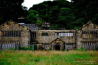
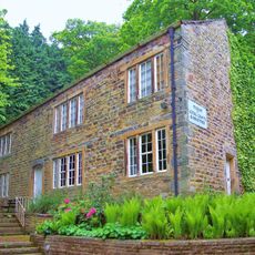
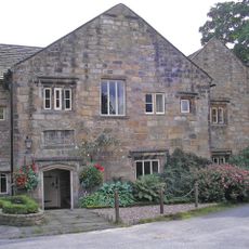
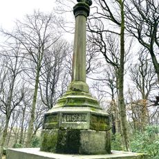
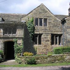
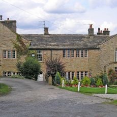
Holme Hall, Cliviger, English country house in Cliviger, England
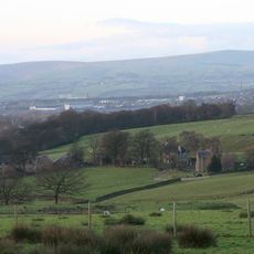
Holme Hall is an English country house built from stone and characterized by two gables, overhanging eaves, and mullioned windows situated in the Lancashire countryside near Burnley. The structure reflects the architectural style typical of substantial rural residences in this region.
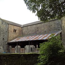
The building began as a timber-framed structure and was gradually converted to stone between 1603 and 1717, reflecting different phases of English residential construction. This extended building period shows how families adapted and improved their homes during periods of economic growth.
The windows visible in the hall come from the former St Mary's Church in Blackburn, blending religious architectural elements into a family residence. This reuse of sacred materials shows how communities preserved building components across generations.
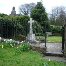
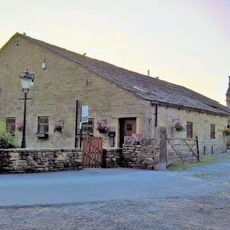
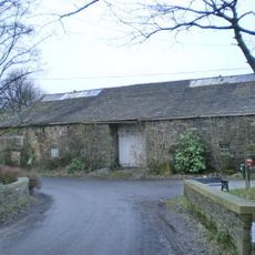
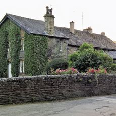
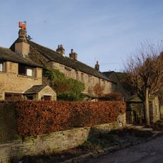
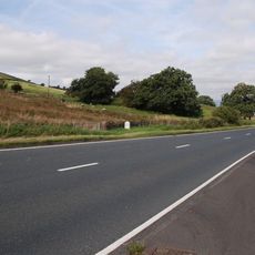
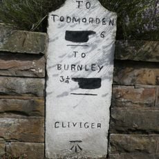
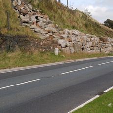
The property sits beside the main road through Cliviger valley and is accessible from the roadside. Visitors can observe the exterior and surrounding landscape from various angles along this route.
Artist J.M.W. Turner created a detailed pencil sketch of the hall in 1799, capturing its appearance during the Georgian era. This drawing provides a historical record of how the building looked over 200 years ago.
The community of curious travelers
AroundUs brings together thousands of curated places, local tips, and hidden gems, enriched daily by 60,000 contributors worldwide.