Hail Storm Hill, Mountain summit in Lancashire, England
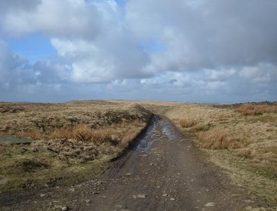
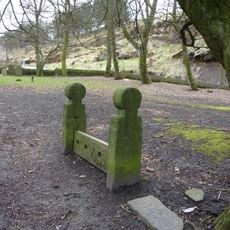
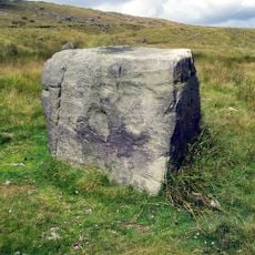
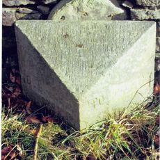
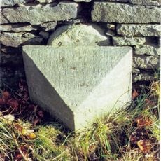
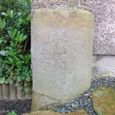
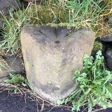
Hail Storm Hill is a moorland summit in Lancashire, marked at its highest point by a stone boundary marker. The terrain is open and exposed, with views across the valleys and rolling hills that surround it.
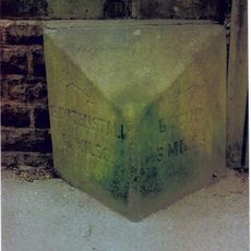
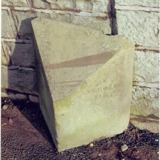
The hill has long served as a natural boundary between Lancashire and the Metropolitan Borough of Rochdale. Its position on the edge of two counties gave it a lasting role in defining the local geography.
Three long-distance trails meet near the top: the Pennine Bridleway, the Rossendale Way, and the Rochdale Way. This makes the hill a natural meeting point for walkers from different parts of the region.
The paths are well-used but moorland ground can get boggy after rain, so sturdy footwear is a good idea. The summit is open with no shelter, so it is worth checking the weather before heading out.
The Scout Moor Wind Farm covers part of the slopes and its turbines are clearly visible from the top of the hill. The farm is one of the largest onshore wind sites in England, which makes for an unexpected view from a moorland walk.
The community of curious travelers
AroundUs brings together thousands of curated places, local tips, and hidden gems, enriched daily by 60,000 contributors worldwide.