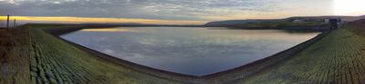
Ashworth Moor Reservoir, reservoir in Greater Manchester, England, UK
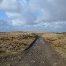
Ashworth Moor Reservoir is a water body in Lancashire moorland, surrounded by natural landscape and open fields. It offers a simple circular walking trail, with rougher paths available across the nearby Pennines for those seeking more challenging terrain.
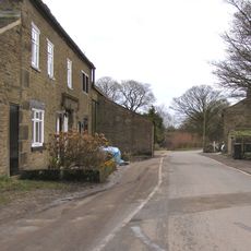
The reservoir was completed in 1908 and has served as a water supply since starting operations in 1907. The site was formerly moorland with sheep and coal mines; planning began in the 1890s, and mills and farms were removed to make way for construction.
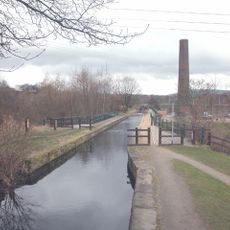
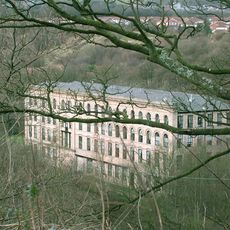
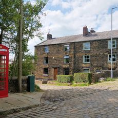
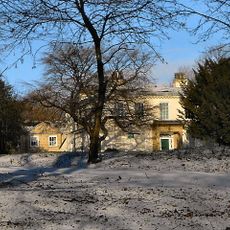
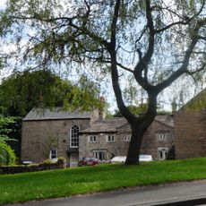
The reservoir sits in an area shaped by its industrial past. You can see traces of this heritage today through walking paths that lead to old mill ruins and into Ashworth Valley with its steep, tree-lined slopes.
The reservoir is open at all times and accessible day or night. There are no facilities directly at the water, but parking is available on nearby streets; Edenfield Road bus stop provides good access from towns like Bury, Rochdale, and Blackburn.
During excavation in 1905, workers found a rare Bronze Age axe called a palstave, more than 3,000 years old. Flint tools and a burial cairn were also discovered at Wind Hill, showing that the land was inhabited long before the reservoir was built.
The community of curious travelers
AroundUs brings together thousands of curated places, local tips, and hidden gems, enriched daily by 60,000 contributors worldwide.