
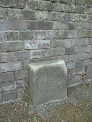
Milestone, roadside at TL5858041980, milestone in Ashdon, Uttlesford, UK
Location: Uttlesford
Inception: 19 century
GPS coordinates: 52.05352,0.31139
Latest update: March 4, 2025 04:04
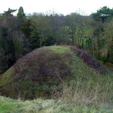
Bartlow Hills
2.9 km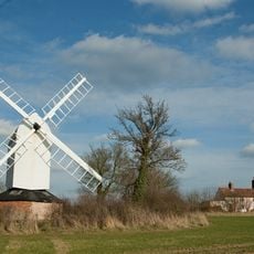
Bragg's Mill
1.1 km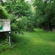
Hales and Shadwell Woods
2.2 km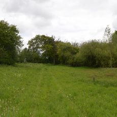
Ashdon Meadows
2 km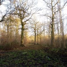
Langley Wood
2.1 km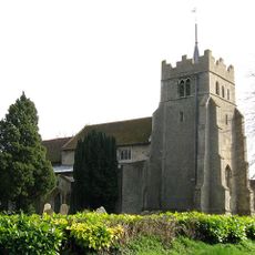
Church of All Saints
674 m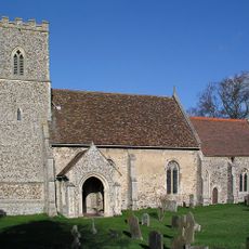
Church of All Saints
4 km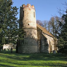
Church of St Mary
3.2 km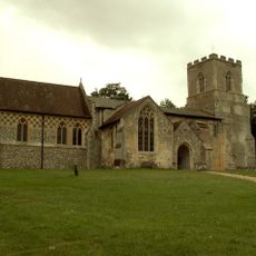
Church of St Botolph
3.9 km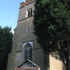
Church of St Mary
4.2 km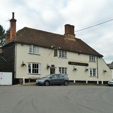
Rose And Crown Inn
202 m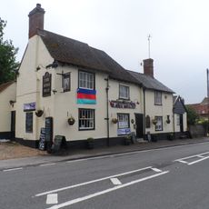
The Kings Head Inn
4 km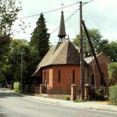
St James' Church
4.2 km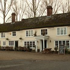
Three Hills Public House
3.2 km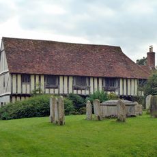
Guildhall
704 m
Barham Hall
4.3 km
Carters Farmhouse
4.3 km
St Aylotts
2.6 km
Tudor Croft
164 m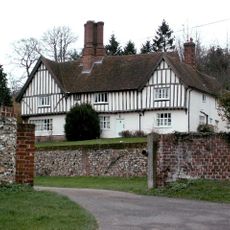
Place Farm Farmhouse
1.3 km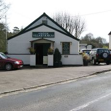
Ashdon Village Museum
112 m
Butlers Farmhouse
2.8 km
Summer Hill
1.3 km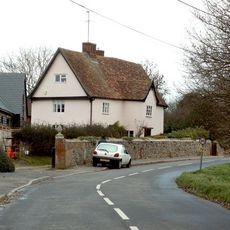
Street Farmhouse
4.2 km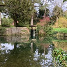
Sluice Gates To South East Of Number 32 (The Mill House)
5.1 km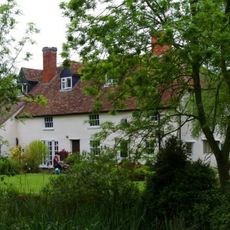
Mill Green Farmhouse
5.1 km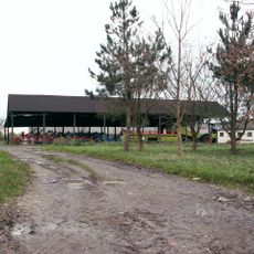
Whitensmere Farmhouse
2 km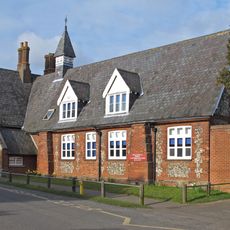
School House The Village School
5.1 kmReviews
Visited this place? Tap the stars to rate it and share your experience / photos with the community! Try now! You can cancel it anytime.
Discover hidden gems everywhere you go!
From secret cafés to breathtaking viewpoints, skip the crowded tourist spots and find places that match your style. Our app makes it easy with voice search, smart filtering, route optimization, and insider tips from travelers worldwide. Download now for the complete mobile experience.

A unique approach to discovering new places❞
— Le Figaro
All the places worth exploring❞
— France Info
A tailor-made excursion in just a few clicks❞
— 20 Minutes