
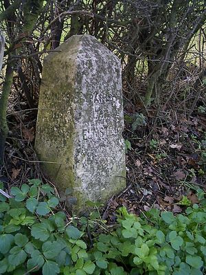
Milestone, St Osyth Road, 100m S Cockaynes Lane., milestone in Alresford, Tendring, UK
Location: Tendring
Inception: 19 century
GPS coordinates: 51.86035,0.99691
Latest update: March 3, 2025 06:46
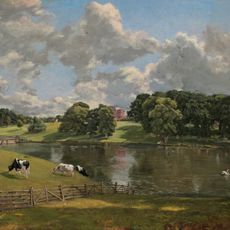
Wivenhoe Park
3.7 km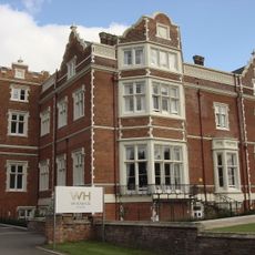
Wivenhoe House
3.7 km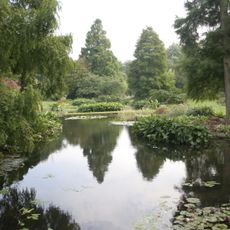
Beth Chatto Gardens
1.7 km
Fingringhoe Wick
3.3 km
Cockaynes Wood
1.2 km
Wivenhoe Gravel Pit
1.9 km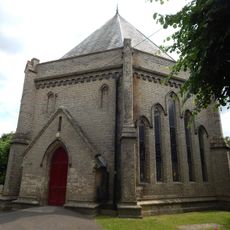
Church of St Lawrence
3.5 km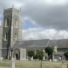
Church of All Saints
3.7 km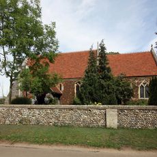
Old Church House
1.7 km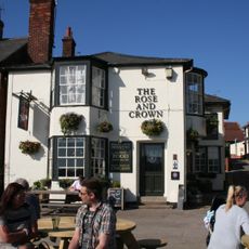
The Rose And Crown Public House
2.7 km
Upper Colne Marshes
3.7 km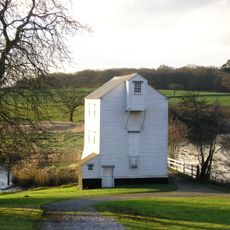
Thorrington tide mill
3.3 km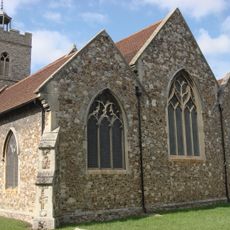
The Church of St Mary
2.6 km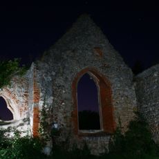
Remains of St Peter's Church, 460m south of Church Farm
1.6 km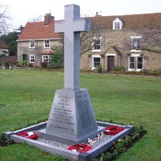
Elmstead War Memorial
2.3 km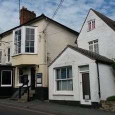
The Greyhound Public House
2.6 km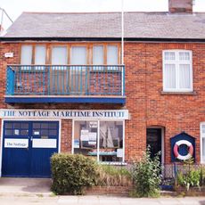
The Nottage
2.7 km
Alresford War Memorial
1.5 km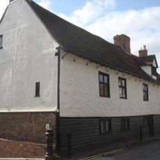
Old Garrison House
2.7 km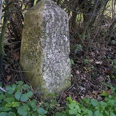
Milestone On Western Verge Approximately 100 Metres South East Of Junction With Cockaynes Lane
26 m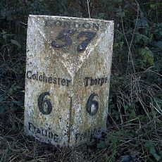
Mile Post On Southern Verge East Of Frating Lodge Tm 085232
2.2 km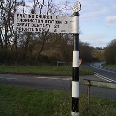
Guide Post Guide Post On Eastern Verge
1.6 km
Elmstead Hall
3.8 km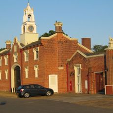
Wivenhoe Park, Stable Block
3.7 km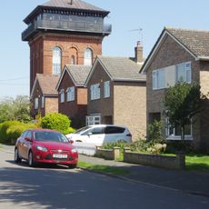
Wivenhoe Water Tower
2.6 km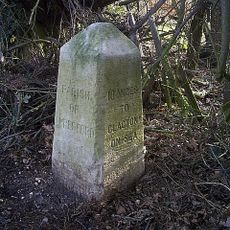
Milestone On South Verge Approximately 100 Metres East Of Junction With Heath Road
1.3 km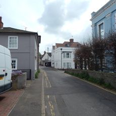
27, West Street
2.7 km
The Old Bakehouse
2.7 kmVisited this place? Tap the stars to rate it and share your experience / photos with the community! Try now! You can cancel it anytime.
Discover hidden gems everywhere you go!
From secret cafés to breathtaking viewpoints, skip the crowded tourist spots and find places that match your style. Our app makes it easy with voice search, smart filtering, route optimization, and insider tips from travelers worldwide. Download now for the complete mobile experience.

A unique approach to discovering new places❞
— Le Figaro
All the places worth exploring❞
— France Info
A tailor-made excursion in just a few clicks❞
— 20 Minutes