
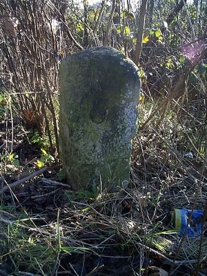
Milestone, High Road, opp jct with Bury Lane, milestone in Epping, Epping Forest, UK
Location: Epping Forest
Inception: 19 century
GPS coordinates: 51.69328,0.10054
Latest update: March 3, 2025 12:25

Copped Hall
2.3 km
Ambresbury Banks
1.9 km
Debden House
3.6 km
Gernon Bushes
2.9 km
Thornwood Common Flood Meadow
3.5 km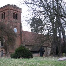
Church of All Saints
3.2 km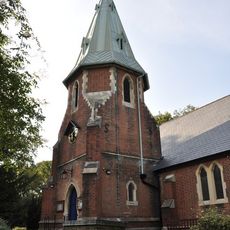
Parish Church of St Mary
2.2 km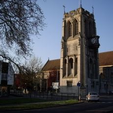
Church of St John the Baptist
916 m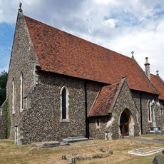
Saint Alban's Church
2.5 km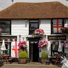
Theydon Oak Inn
2.1 km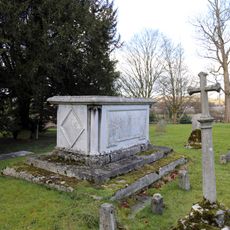
Church of All Saints Table Tomb In Churchyard Approximately 100 Feet North East Of Chancel To Sir Thomas Coxhead 1811
2.8 km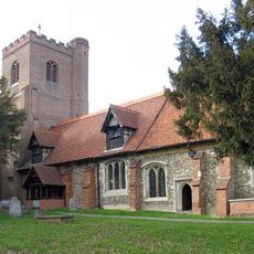
Church of All Saints
2.8 km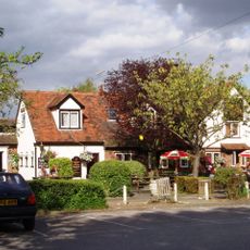
Queen Victoria Public House
2.3 km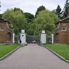
West Lodge, Gateway, East Lodge to London Entrance Drive to Copt Hall
2.4 km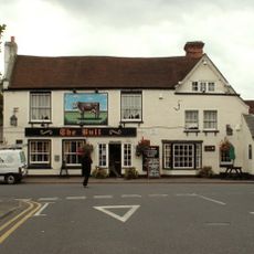
The Bull Public House
2.4 km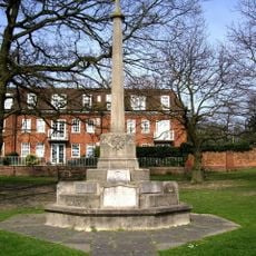
Epping War Memorial
1.6 km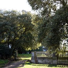
Copped Hall Gardens
2.5 km
Parsonage Farmhouse
2.6 km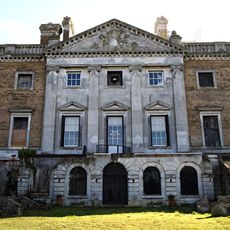
Copped Hall ancillary buildings and gardens
2.3 km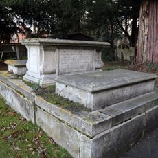
Church of All Saints Tombstone In Churchyard To Mrs E Rogers 1759 And R Rogers 1773
2.8 km
Church of All Saints, Tombstone In Churchyard 60 Feet North Of Stair Tower
2.8 km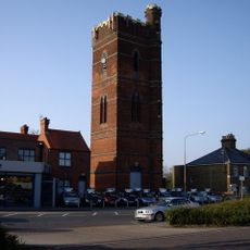
Water Tower
524 m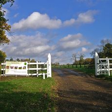
Gaynes Park
3.2 km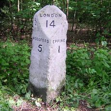
Milestone, 400m E of Upshire Road jct
1.6 km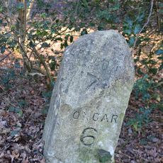
Milestone, Epping Road, 500m W of M11 bridge
3.1 km
Milestone, 20m E of roundabout
3.2 km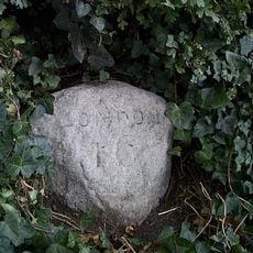
Milestone, fronting Redgrove House
1.6 km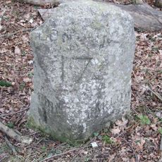
Milestone, Woodside
3.2 kmVisited this place? Tap the stars to rate it and share your experience / photos with the community! Try now! You can cancel it anytime.
Discover hidden gems everywhere you go!
From secret cafés to breathtaking viewpoints, skip the crowded tourist spots and find places that match your style. Our app makes it easy with voice search, smart filtering, route optimization, and insider tips from travelers worldwide. Download now for the complete mobile experience.

A unique approach to discovering new places❞
— Le Figaro
All the places worth exploring❞
— France Info
A tailor-made excursion in just a few clicks❞
— 20 Minutes