
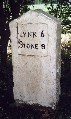
Milestone, between 40/// & 40// speed signs, milestone in Wormegay, Kings Lynn And West Norfolk, UK
Location: King's Lynn and West Norfolk
Inception: 19 century
GPS coordinates: 52.66830,0.43939
Latest update: March 3, 2025 02:54
Wormegay Castle
1.4 km
Blackborough Priory
4.2 km
Church of Ss Peter and Paul
3 km
Church of St Botolph
366 m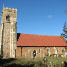
Church of St Michael
2.7 km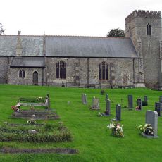
Church of All Saints
3.5 km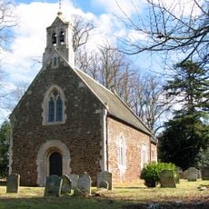
Church of St Mary the Virgin
2.8 km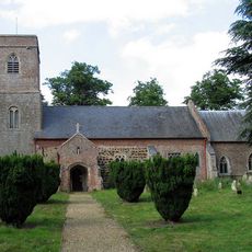
Church of St James
3.5 km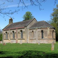
Church of St Andrew
2.3 km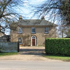
Colts Hall
3.3 km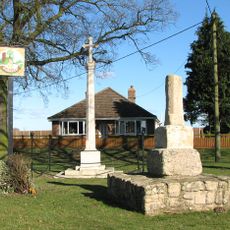
Wormegay War Memorial
1.8 km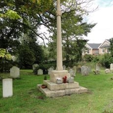
Watlington War Memorial
3 km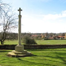
Shouldham War Memorial
3.5 km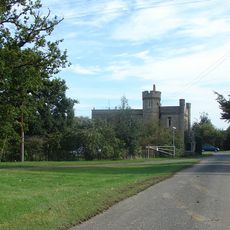
Wallington Hall
3.8 km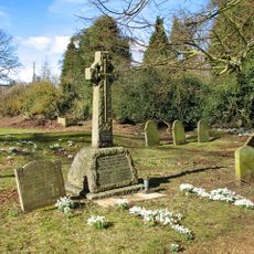
Shouldham Thorpe War Memorial
2.8 km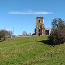
Medieval settlement remains immediately west of All Saints' Church
3.4 km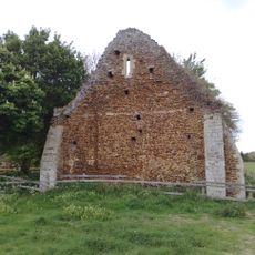
Remains Of Benedictine Priory At Tf 673 140
4 km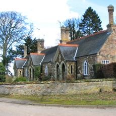
Almshouses
5.2 km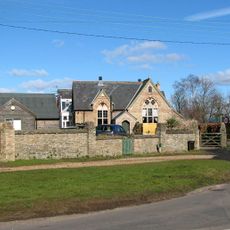
Former National School And Boundary Wall
3.2 km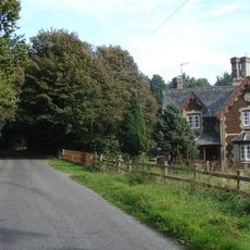
North Lodge To Stow Hall
3.5 km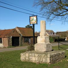
Village cross, 30m south of Cross Hill Farm
1.8 km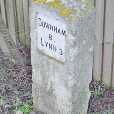
Milestone, Main Rd, N of jct with Gravelhill Lane
4.6 km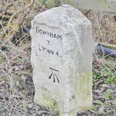
Milestone, c.20yds south of Bridge House
3.1 km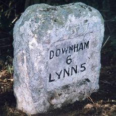
Milestone, trees; front of multi-branched oak
1.7 km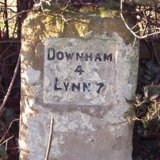
Milestone, Lynn Rd, 140yds N of School Rd
2.6 km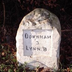
Milestone, 23yds S of Magpie Centre (Wallington Hall), Lynn Rd
4 km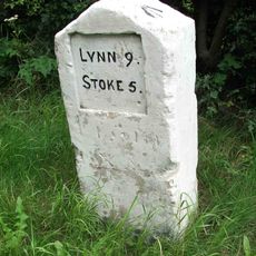
Milestone, roadside at TF6617805997
4.8 km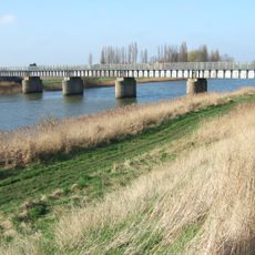
Magdalen railway bridge
5.1 kmReviews
Visited this place? Tap the stars to rate it and share your experience / photos with the community! Try now! You can cancel it anytime.
Discover hidden gems everywhere you go!
From secret cafés to breathtaking viewpoints, skip the crowded tourist spots and find places that match your style. Our app makes it easy with voice search, smart filtering, route optimization, and insider tips from travelers worldwide. Download now for the complete mobile experience.

A unique approach to discovering new places❞
— Le Figaro
All the places worth exploring❞
— France Info
A tailor-made excursion in just a few clicks❞
— 20 Minutes