
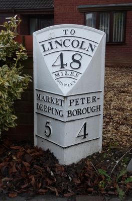
Milepost, Lincoln Road, Werrington, opp. jct with Salisbury Road, milepost in Peterborough, UK
Location: City of Peterborough
Inception: 19 century
GPS coordinates: 52.61535,-0.28102
Latest update: March 3, 2025 09:52
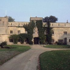
Woodcroft Castle
2.7 km
Parish Church of All Saints
1.9 km
Church of St Mary the Virgin, Marholm
2.3 km
Church of St Pega
3.4 km
Parish Church of St John the Baptist
539 m
Church of St Benedict
2.8 km
34 36, Church Street
511 m
25, Church Street
447 m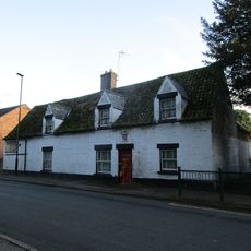
Church View House
567 m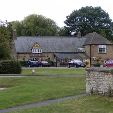
The Blue Bell Public House
2.8 km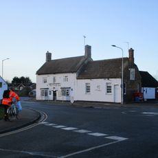
The Cock Public House
274 m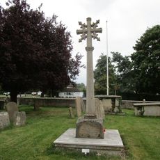
Glinton War Memorial
2.8 km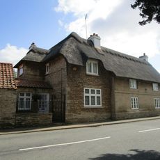
The Goshams
3.4 km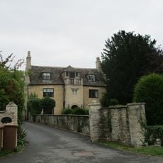
Balcony House
2.9 km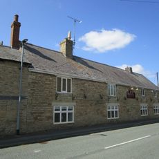
Ruddy Duck Public House
3.2 km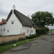
Rose Cottage
3 km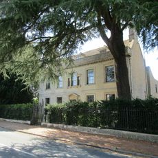
Greystones
3.2 km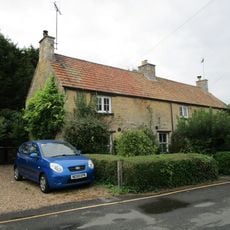
8 And 10, Rectory Lane
2.7 km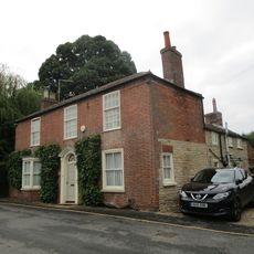
12, Rectory Lane
2.7 km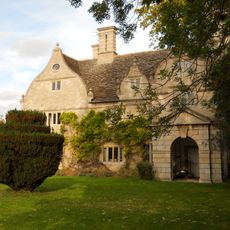
Manor House
2.7 km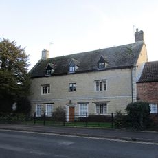
Fayreholme
554 m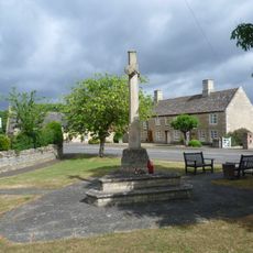
War Memorial at Junction with Castor Road
2 km
Stone Haven
2.9 km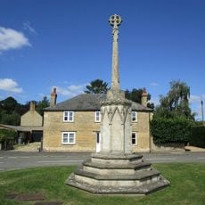
Village Cross
3.3 km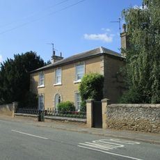
The Grange And Garden Area Railings And Gate To South East
3.1 km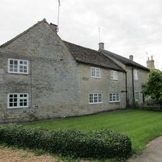
Threanfore
2.2 km
Home Farmhouse
2.4 km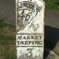
Milepost, Lincoln Road, N of village
3.1 kmVisited this place? Tap the stars to rate it and share your experience / photos with the community! Try now! You can cancel it anytime.
Discover hidden gems everywhere you go!
From secret cafés to breathtaking viewpoints, skip the crowded tourist spots and find places that match your style. Our app makes it easy with voice search, smart filtering, route optimization, and insider tips from travelers worldwide. Download now for the complete mobile experience.

A unique approach to discovering new places❞
— Le Figaro
All the places worth exploring❞
— France Info
A tailor-made excursion in just a few clicks❞
— 20 Minutes