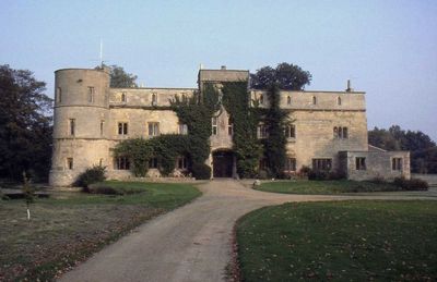
Woodcroft Castle, Quadrangular castle in Elton, England
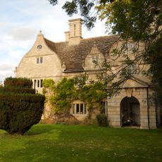
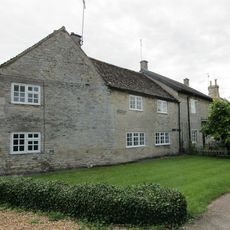
Woodcroft Castle is a stone quadrangular castle in Elton, England, with four wings arranged around a central courtyard. The building is Grade II* listed and combines features of a medieval fortified structure with later residential additions.
The castle was built around 1280 and is one of the early examples of the quadrangular plan that spread across England during the reign of Edward I. A concrete pillbox added during World War II is still visible on the grounds today.
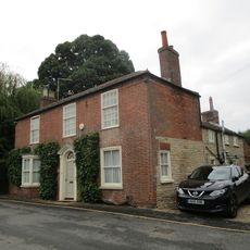
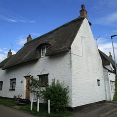
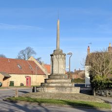
Woodcroft Castle shows how a medieval fortified building gradually became a lived-in manor without losing its original character. Visitors looking at the exterior can see how older defensive stonework sits alongside later domestic additions.
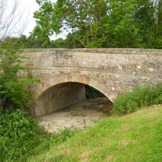
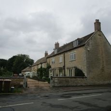
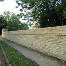
The site sits in a rural setting and is best explored on foot, as the area around the castle is easy to cover without covering much ground. Walking around the outside gives a good view of the stone walls and the millpond nearby.
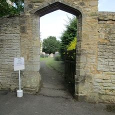
The millpond beside the castle is a reminder that the estate functioned as a working agricultural property during the medieval period, not only as a place of defense. The earthworks still visible around the grounds are traces of how the land was shaped and managed over many generations.
The community of curious travelers
AroundUs brings together thousands of curated places, local tips, and hidden gems, enriched daily by 60,000 contributors worldwide.