
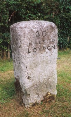
Milestone, Wycombe Road; at jct. with Marlow Road, B482, milestone in Stokenchurch, Wycombe, UK
Location: Wycombe
Inception: 19 century
GPS coordinates: 51.65842,-0.89750
Latest update: March 7, 2025 14:49

Wormsley Park
3 km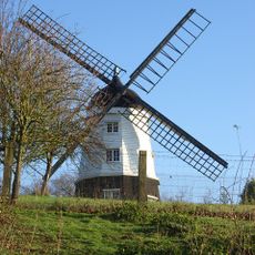
Cobstone Windmill
4.6 km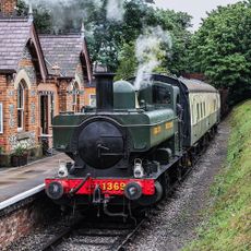
Chinnor and Princes Risborough Railway
4.4 km
Aston Rowant NNR
3.7 km
Church of St Mary
5 km
Turville Hill
4.8 km
Stokenchurch Gap
2.8 km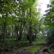
Aston Rowant Woods
2.7 km
Church of St Mary, Radnage
2.9 km
Swain's Wood
4.7 km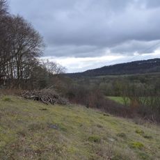
Wormsley Chalk Banks
2.9 km
Stokenchurch War Memorial
255 m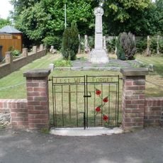
Radnage War Memorial
2.3 km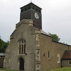
Church of St Peter and St Paul
481 m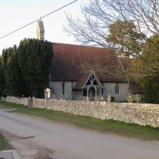
Church of St Mary Le Moor
4.1 km
Church of St Peter and St Paul, Aston Rowant
4.7 km
Church of St Paul
3.8 km
Church of St Andrew
4.9 km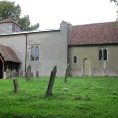
Church of St Nicholas
3.8 km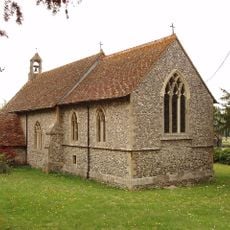
Church of the Nativity of the Blessed Virgin Mary
4.1 km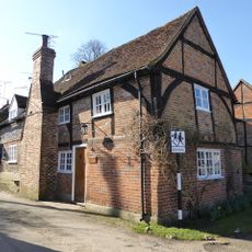
1, School Lane
5 km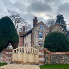
The Old Vicarage
4.9 km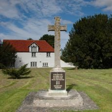
Aston Rowant War Memorial
4.7 km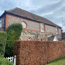
The Old School House
5 km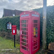
K6 Telephone Kiosk
5 km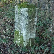
Milestone At Os Su 792949
3.1 km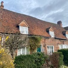
The Old Bakehouse
5 km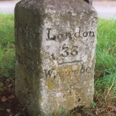
Milestone, Wycombe Road; in front of Dashwood Arms PH at Chipps Hill jct, where older road forms lay-by
4.7 kmVisited this place? Tap the stars to rate it and share your experience / photos with the community! Try now! You can cancel it anytime.
Discover hidden gems everywhere you go!
From secret cafés to breathtaking viewpoints, skip the crowded tourist spots and find places that match your style. Our app makes it easy with voice search, smart filtering, route optimization, and insider tips from travelers worldwide. Download now for the complete mobile experience.

A unique approach to discovering new places❞
— Le Figaro
All the places worth exploring❞
— France Info
A tailor-made excursion in just a few clicks❞
— 20 Minutes