
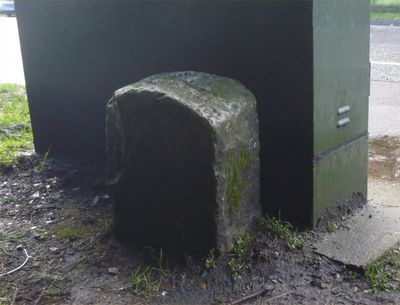
Milestone, High Street, opp. Cornford Lane, E of Woodsgate Way, milestone in Pembury, Tunbridge Wells, UK
Location: Tunbridge Wells
Inception: 19 century
GPS coordinates: 51.14423,0.31432
Latest update: March 7, 2025 00:39
St Anselm's Church, Pembury
581 m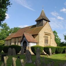
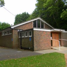
Chapel Of Ease Of St Luke
3.4 km
Parish Church of St Barnabas
3.2 km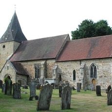
Old Church of St Peter
2.2 km
Church of St James
3 km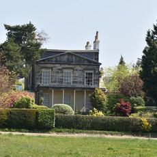
13, Calverley Park
3.4 km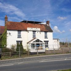
The Blue Boys Inn
2.9 km
Upper Church of St Peter
664 m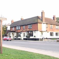
The Camden Arms
544 m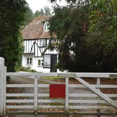
Fairthorne House
2.3 km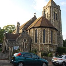
St Luke's Church
3.2 km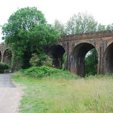
Colebrook Viaduct
3.1 km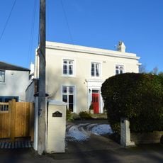
The Lodge
544 m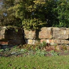
Pulhamite Rockery, Dunorlan Park
2.2 km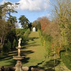
Grecian Temple, Dunorlan Park
2.2 km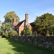
Little Hawkwell Farmhouse
2.8 km
Terrace Wall And Steps Of Dunorlan To The South East Of The Former Dunorlan House
2.3 km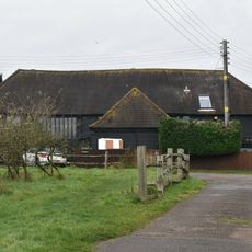
Downingbury Farm Barn
1.7 km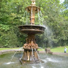
Pulhamite And Terracotta Fountain, Dunorlan Park
2.2 km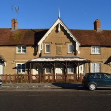
The Almshouses
633 m
Pulhamite Cascade, Stepping Stones And Bridge In Water Garden, Dunorlan Park
2.2 km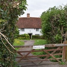
Packs In The Wood
2.6 km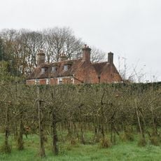
Downingbury Farmhouse
1.7 km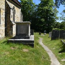
Anonymous Chest Tomb Approximately 1.5 Metres South Of The Nave Of The Old Church Of St Peter
2.2 km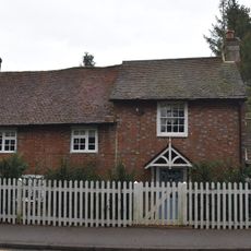
Poppingbury
1 km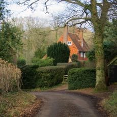
Foxella
3.1 km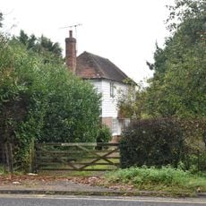
Sandhill Farmhouse
1.2 km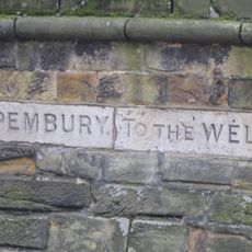
Guidestone, Pembury Road, N of jct with Calverley Road
3.2 kmVisited this place? Tap the stars to rate it and share your experience / photos with the community! Try now! You can cancel it anytime.
Discover hidden gems everywhere you go!
From secret cafés to breathtaking viewpoints, skip the crowded tourist spots and find places that match your style. Our app makes it easy with voice search, smart filtering, route optimization, and insider tips from travelers worldwide. Download now for the complete mobile experience.

A unique approach to discovering new places❞
— Le Figaro
All the places worth exploring❞
— France Info
A tailor-made excursion in just a few clicks❞
— 20 Minutes