
Path between Arthur Road and Alexandra Road, Kingston-Upon-Thames
Location: Royal Borough of Kingston upon Thames
GPS coordinates: 51.41666,-0.28624
Latest update: March 4, 2025 16:49

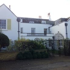
Thatched House Lodge
1.2 km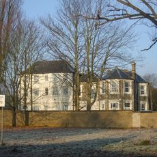
Latchmere House
1.4 km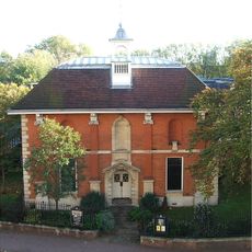
Kingston Museum
1.3 km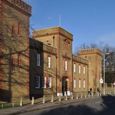
The Barracks, Kingston upon Thames
621 m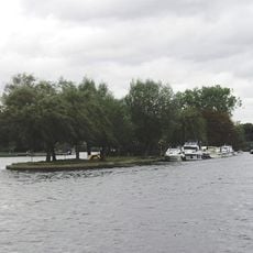
Steven's Eyot
1.4 km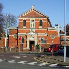
St Agatha's Church
583 m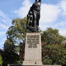
Kingston upon Thames War Memorial
1.5 km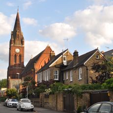
Church of St Luke
766 m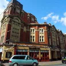
Kingston Empire
1.4 km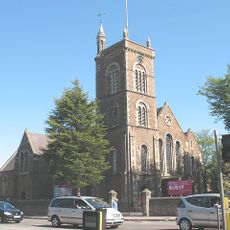
Church of St Peter
735 m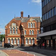
Head Post Office
1.5 km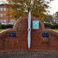
Propeller Memorial
864 m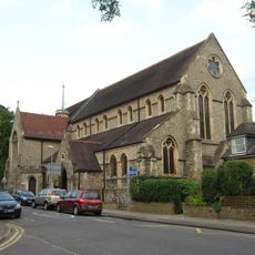
St Paul's Church
131 m
Bentalls Depository
1.1 km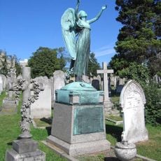
Tomb South East Of Mortuary Chapels
1.3 km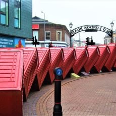
Out of Order
1.2 km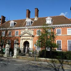
Kingston Library
1.3 km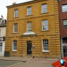
Former Police Station
1.2 km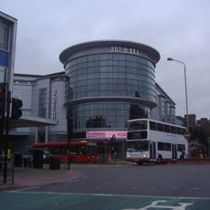
Odeon Kingston upon Thames
1.3 km
Former Bentall's Department Store
1.5 km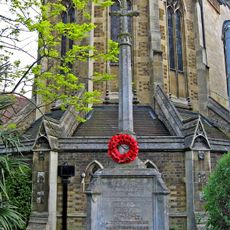
Kingston Hill War Memorial
152 m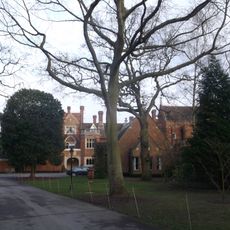
Warren House
1.3 km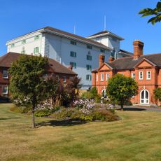
Cleave's Almshouses
1.1 km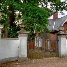
Gateway To Kingsnympton Park Beside South Lodge
742 m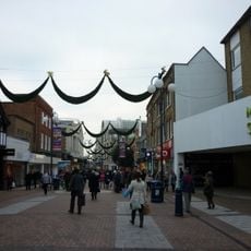
Clarence Street
1.3 km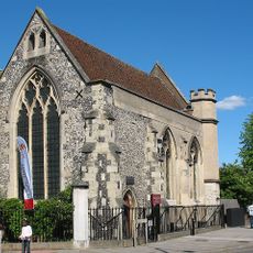
Chantry Chapel Of St Mary Magdalene
956 m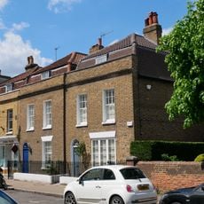
43-47, Old London Road
1.1 km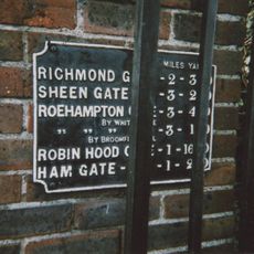
Milestone, Kingston Gate
387 mReviews
Visited this place? Tap the stars to rate it and share your experience / photos with the community! Try now! You can cancel it anytime.
Discover hidden gems everywhere you go!
From secret cafés to breathtaking viewpoints, skip the crowded tourist spots and find places that match your style. Our app makes it easy with voice search, smart filtering, route optimization, and insider tips from travelers worldwide. Download now for the complete mobile experience.

A unique approach to discovering new places❞
— Le Figaro
All the places worth exploring❞
— France Info
A tailor-made excursion in just a few clicks❞
— 20 Minutes