
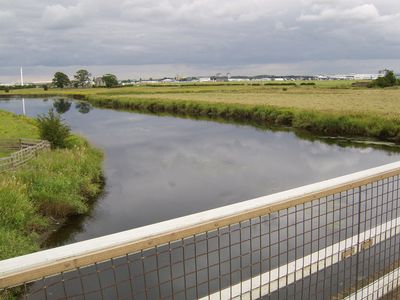
Barnsford Bridge, road bridge in Renfrewshire which carries the A726 road over the Black Cart Water
Location: Renfrewshire
Location: Inchinnan
Location: Renfrew
Inception: 1984
GPS coordinates: 55.87494,-4.45008
Latest update: September 23, 2025 16:56
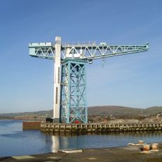
Titan Clydebank
3.6 km
India of Inchinnan
1.4 km
Thomas Coats Memorial Baptist Church
3.5 km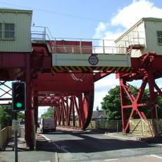
White Cart Bridge
2.6 km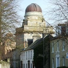
Coats Observatory
3.5 km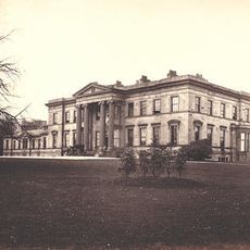
Blythswood House
3.4 km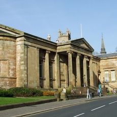
Paisley Museum and Art Galleries
3.5 km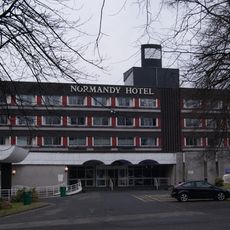
Normandy Hotel
2.7 km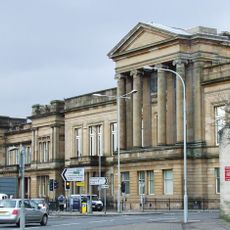
Paisley, St James Street, Sheriff Court And Procurator Fiscal's Office
3.3 km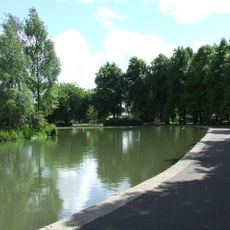
Robertson Park
3.5 km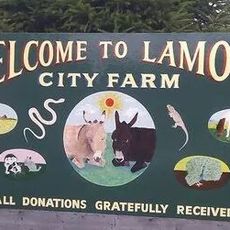
Lamont Farm
2.6 km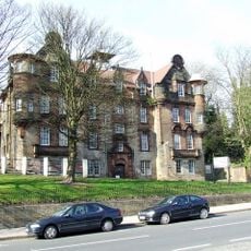
High Street drill hall, Paisley
3.6 km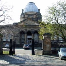
Paisley, Oakshaw Road, John Neilson Institution
3.4 km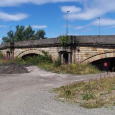
Renfrew, Inchinnan Road, White Cart Bridge
2.5 km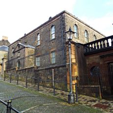
Christian Social Action Centre
3.6 km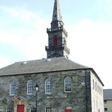
Paisley High Church
3.5 km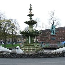
Love Street fountain
3 km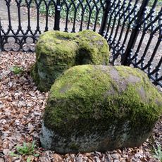
Argyll Stone and St Conval's Chariot
2.7 km
The Bull Inn
3.7 km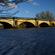
Renfrew, Greenock Road, Inchinnan Bridge
2.5 km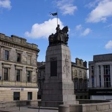
Paisley War Memorial
3.6 km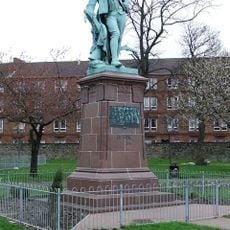
Statue of Robert Burns
3 km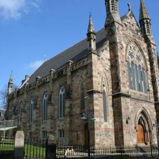
Paisley, School Wynd, Former St John's Church
3.6 km
Paisley, 56 Oakshaw, Peter Brough District Nurses' Home
3.4 km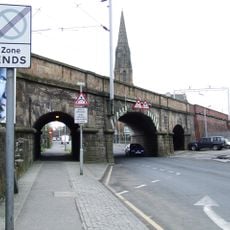
Paisley, Underwood Road, Railway Viaduct
3.2 km
Paisley, 76 High Street, Army Careers Information Office
3.5 km
Paisley, 20-22 Back Sneddon Street
3.3 km
Paisley, 3-9 Gauze Street, Methodist Central Hall
3.7 kmReviews
Visited this place? Tap the stars to rate it and share your experience / photos with the community! Try now! You can cancel it anytime.
Discover hidden gems everywhere you go!
From secret cafés to breathtaking viewpoints, skip the crowded tourist spots and find places that match your style. Our app makes it easy with voice search, smart filtering, route optimization, and insider tips from travelers worldwide. Download now for the complete mobile experience.

A unique approach to discovering new places❞
— Le Figaro
All the places worth exploring❞
— France Info
A tailor-made excursion in just a few clicks❞
— 20 Minutes