
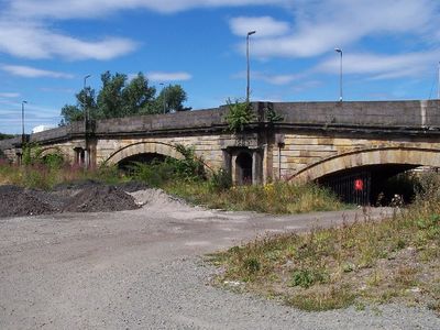
Renfrew, Inchinnan Road, White Cart Bridge
Renfrew, Inchinnan Road, White Cart Bridge, bridge in Renfrewshire, Scotland, UK
Location: Renfrewshire
Location: Renfrew
Inception: 1812
GPS coordinates: 55.88020,-4.41061
Latest update: November 28, 2025 14:29
Braehead
2.9 km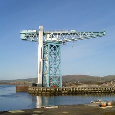
Titan Clydebank
1.9 km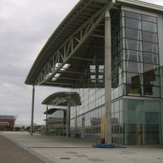
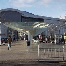
Braehead Arena
2.9 km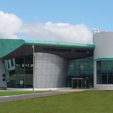
India of Inchinnan
2 km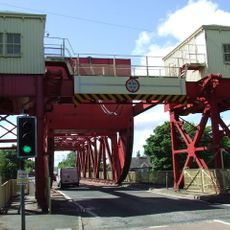
White Cart Bridge
64 m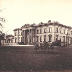
Blythswood House
1.1 km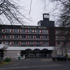
Normandy Hotel
211 m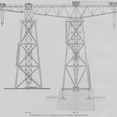
Beardmore Crane
3.2 km
Robertson Park
1.1 km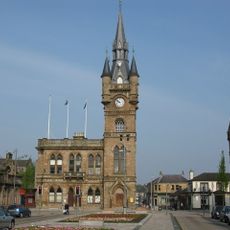
Renfrew, The Cross, Renfrew Town Hall
1.5 km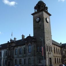
Clydebank, 49 Dumbarton Road, Municipal Buildings
2.3 km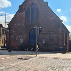
Morison Memorial church
2.3 km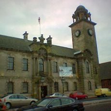
Clydebank Museum
2.3 km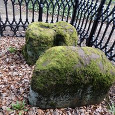
Argyll Stone and St Conval's Chariot
172 m
Renfrewshire City Hall
1.5 km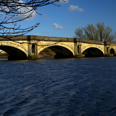
Renfrew, Greenock Road, Inchinnan Bridge
83 m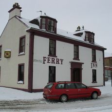
Ferry Inn, Clyde Street, Renfrew
1.8 km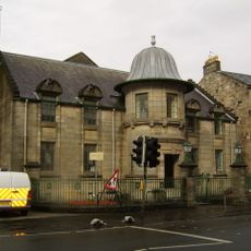
Victory Baths
1.3 km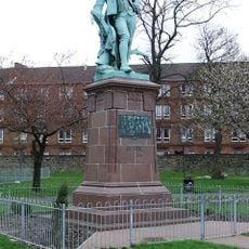
Statue of Robert Burns
3.5 km
Clydebank, Hall Street, Baths & Fire Station Tenement
2.3 km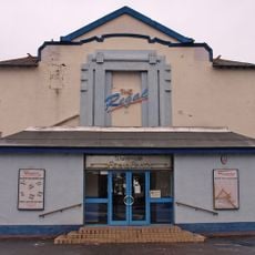
Regal Cinema
1.6 km
Clydebank Library
2.4 km
Empire Cinema
2.8 km
Clydebank, 11 Hume Street
2.2 km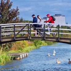
Forth and Clyde Canal: Linnvale - Duntreath Avenue
2.8 km
Clydebank, 2 Sylvania Way South, Clydebank Co-operative Society
2.4 km
Clydebuilt
3.1 km
Former Public Baths And Swimming Pool, Bruce Street
2.3 kmVisited this place? Tap the stars to rate it and share your experience / photos with the community! Try now! You can cancel it anytime.
Discover hidden gems everywhere you go!
From secret cafés to breathtaking viewpoints, skip the crowded tourist spots and find places that match your style. Our app makes it easy with voice search, smart filtering, route optimization, and insider tips from travelers worldwide. Download now for the complete mobile experience.

A unique approach to discovering new places❞
— Le Figaro
All the places worth exploring❞
— France Info
A tailor-made excursion in just a few clicks❞
— 20 Minutes