
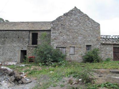
Barn Range South Of Ludwell Farmhouse, barn in Stanhope, County Durham, UK
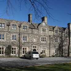
Horsley Hall
2.2 km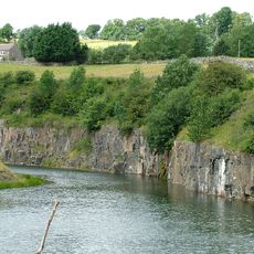
Greenfoot Quarry
4.1 km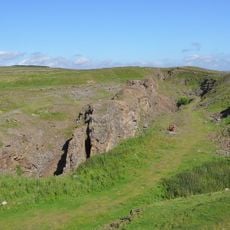
West Rigg Open Cutting
3.3 km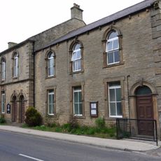
Westgate Methodist Chapel
3.8 km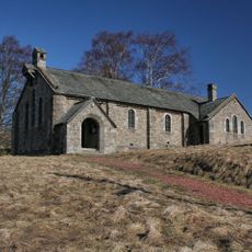
Church of St John the Evangelist
4.2 km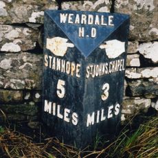
Milepost About 120 Metres East Of Park House Farmhouse
1.7 km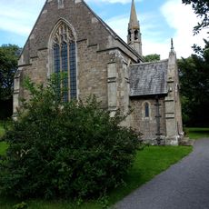
All Saints
1.2 km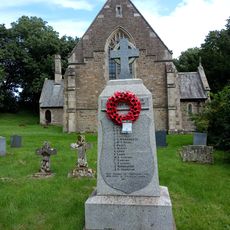
Eastgate War Memorial
1.2 km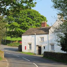
Former Inn
4.2 km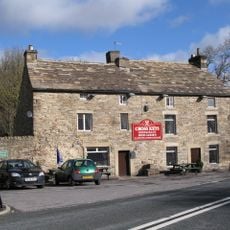
The Cross Keys Public House
1.1 km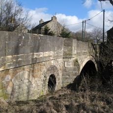
Bridge Over Rookhope Burn
1.1 km
High Crooked Well
4.1 km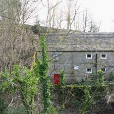
Eastgate Mill
1.2 km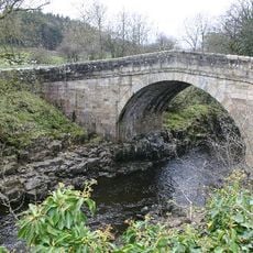
Stanhope Bridge
4.3 km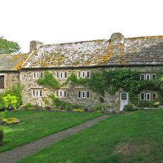
Westernhope Burn East Farmhouse
818 m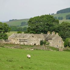
Ludwell Farmhouse
13 m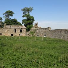
Shield Ash Farmhouse
4.2 km
Former House And Byre, With Loose Boxes, South Of Ludwell Farmhouse Barn
12 m
Haswick's Bridge Over River Wear
3.4 km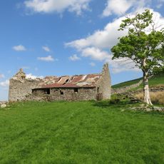
New Close Farmhouse With Stable, Byre And Lofts
4 km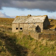
High Smailsburn Farmhouse
3.5 km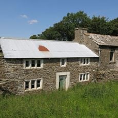
Former Farmhouse To West Of Snowhope Close Farmhouse
1.9 km
Scarsike Head Guide Post On North Side Of Road Junction One Metre West Of Wall
4.5 km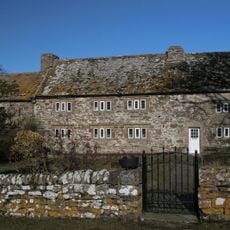
Westernhopeburn West Farmhouse and adjoining outbuilding
862 m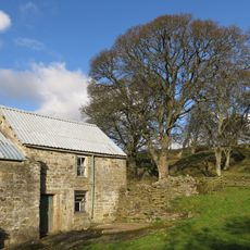
Farmhouse On North Bank Of Stotfield Burn, With Attached Outbuilding
4.2 km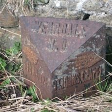
200m W of jct B6275
4.6 km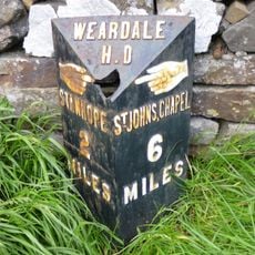
Hare Law
3.2 km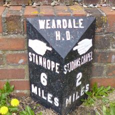
Westgate, Front Street nr jct with St Andrews Place, E end village
3.3 kmReviews
Visited this place? Tap the stars to rate it and share your experience / photos with the community! Try now! You can cancel it anytime.
Discover hidden gems everywhere you go!
From secret cafés to breathtaking viewpoints, skip the crowded tourist spots and find places that match your style. Our app makes it easy with voice search, smart filtering, route optimization, and insider tips from travelers worldwide. Download now for the complete mobile experience.

A unique approach to discovering new places❞
— Le Figaro
All the places worth exploring❞
— France Info
A tailor-made excursion in just a few clicks❞
— 20 Minutes