
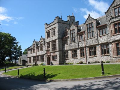
Friars Lower School,Ffriddoedd Road, Grade II listed building in Gwynedd.
Location: Bangor
Elevation above the sea: 71 m
GPS coordinates: 53.22344,-4.14374
Latest update: March 31, 2025 14:47
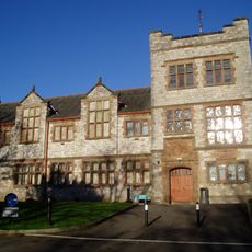
Ysgol Friars
831 m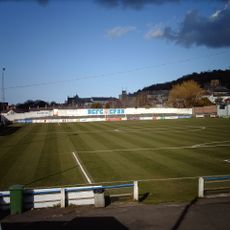
Farrar Road Stadium
827 m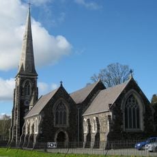
Church of Our Lady and St James
648 m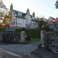
Athrolys
1.1 km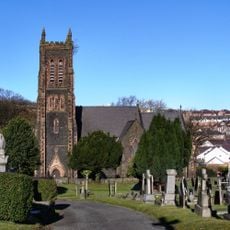
St David's Church, Bangor
537 m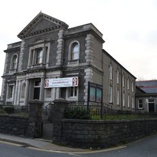
Tŵr-Gwyn Chapel
801 m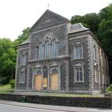
Pendref Welsh Independent Chapel
975 m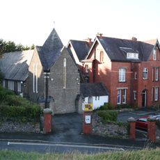
University Anglican Chaplaincy Centre
923 m
Memorial Building, including boundary wall and gates, Bangor University
824 m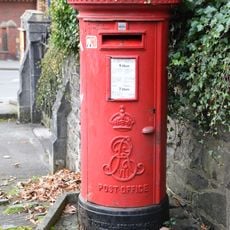
Pillar Box to Ne.of St.James' Churchyard, Ffriddoedd Road
671 m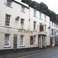
Nos.78-82 The Harp Inn Ph,High Street
945 m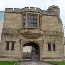
North Wales Heroes Memorial
1 km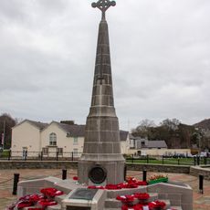
Bangor War Memorial
1 km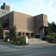
Theatr Gwynedd, now demolished
1.1 km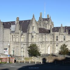
Bangor Normal College
1.1 km
Coleg Bala-Bangor
677 m
Poplars
930 m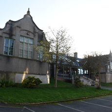
Former Normal College Gymnasium (Gwynedd Technical College, Art & Design Section) College Road
1.1 km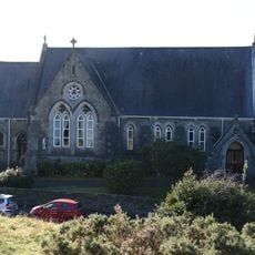
Princes Road Pentecostal Church
902 m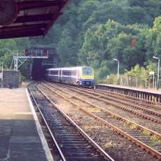
Portal at The Entrance to Bangor Railway Tunnel,Station Road
780 m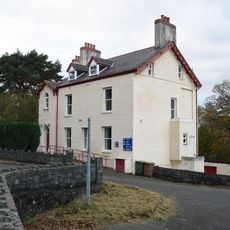
Bryn Menai
754 m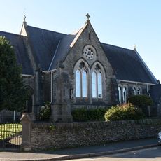
Princes Road English Presbyterian Church
893 m
Bryn Afon (Centre For Social Policy Research and Development) College Lane
1 km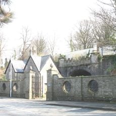
Railway Bridge over the Northern Driveway to Y Glyn
962 m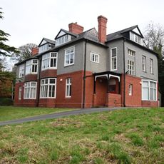
Neuadd Ogwen
1.1 km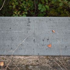
Wartski memorial plaque
641 m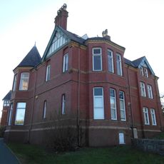
Penbre
1 km
Terraced Walls At And Gated Entrance To,the University College Of North Wales Main Building, Penrall
1.1 kmReviews
Visited this place? Tap the stars to rate it and share your experience / photos with the community! Try now! You can cancel it anytime.
Discover hidden gems everywhere you go!
From secret cafés to breathtaking viewpoints, skip the crowded tourist spots and find places that match your style. Our app makes it easy with voice search, smart filtering, route optimization, and insider tips from travelers worldwide. Download now for the complete mobile experience.

A unique approach to discovering new places❞
— Le Figaro
All the places worth exploring❞
— France Info
A tailor-made excursion in just a few clicks❞
— 20 Minutes