Miners' Welfare Park, Urban park in Bedworth, England
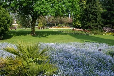
Miners' Welfare Park is an urban park in Bedworth featuring formal gardens, sports facilities, and recreational areas spread across the grounds. The space includes football and cricket fields, walking paths, an outdoor gym, disc golf courses, and a children's play area equipped with water features.
The Bedworth Miners' Welfare Committee purchased this land in 1921 to create recreational facilities for mining families in the area. This action grew from the mining community's commitment to providing leisure spaces for its workers and their families.
A mining wheel monument has stood here since 1986, serving as a visible reminder of the area's industrial past and its significance to local identity. The space functions as a gathering place where the community connects with its heritage through everyday use.
The park is easily accessible from the town center and has adequate parking available for visitors. Weekends and bank holidays offer all-day free parking, while weekdays provide parking with time restrictions.
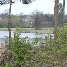
The grounds contain specialized wildlife sites such as Black Bank and Bayton Lake that support various plant and animal species. These areas allow visitors to encounter local nature while surrounded by urban surroundings.
The community of curious travelers
AroundUs brings together thousands of curated places, local tips, and hidden gems, enriched daily by 60,000 contributors worldwide.