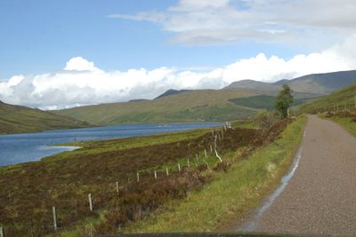
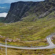
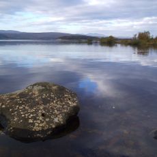
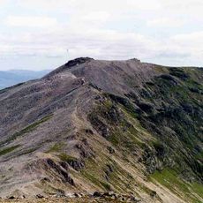
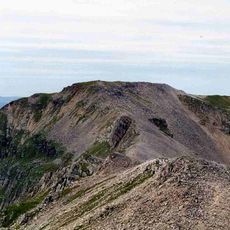
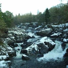
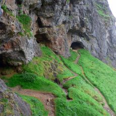
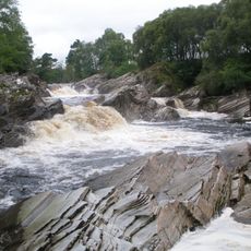
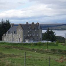
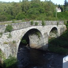
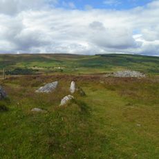
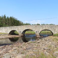
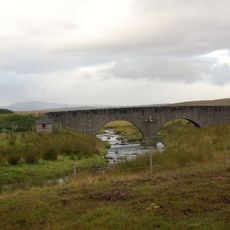
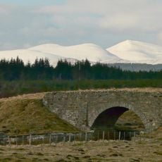
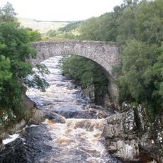
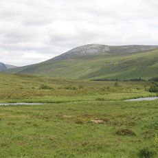
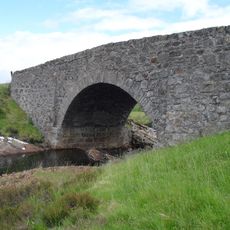
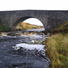
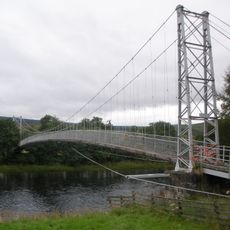
Lairg, Scottish parish in Highland, Scotland, UK
Location: Highland
Shares border with: Rogart, Creich, Eddrachillis, Durness, Farr
GPS coordinates: 58.12444,-4.54906
Latest update: March 21, 2025 20:47
North Coast 500
17.5 km
Loch Shin
2.9 km
Ben More Assynt
18.3 km
Falls of Shin
20.1 km
Ben Klibreck
14.7 km
Ben Hee
17.6 km
Uamh an Claonaite
22.9 km
Conival
19.7 km
Achness Waterfall
15.4 km
Bone Caves
23.1 km
Enarg Falls
21.4 km
Sallachy Broch
10 km
Oykel Falls
20.4 km
Allt nan Uamh
22.8 km
Stoer Church and old burial ground
14.2 km
Sallachy
10.5 km
Inveran, Shin Bridge
21.7 km
The Ord, chambered cairns, cairns, settlements and field systems
14.4 km
Altnaharra Bridge
19.1 km
Crask Bridge
7.1 km
Feith Osdail Bridge
8.5 km
Oykel Bridge
20.4 km
Meallan Liath Mòr
17.7 km
Vagastie Bridge
9.9 km
Rhian Bridge
6.5 km
Brae Doune, Suspension Footbridge
17.5 km
Achany, cairn 890m NW of
16.6 km
Rosehall, Cassley Bridge
15.9 kmReviews
Visited this place? Tap the stars to rate it and share your experience / photos with the community! Try now! You can cancel it anytime.
Discover hidden gems everywhere you go!
From secret cafés to breathtaking viewpoints, skip the crowded tourist spots and find places that match your style. Our app makes it easy with voice search, smart filtering, route optimization, and insider tips from travelers worldwide. Download now for the complete mobile experience.
A unique approach to discovering new places❞
— Le Figaro
All the places worth exploring❞
— France Info
A tailor-made excursion in just a few clicks❞
— 20 Minutes