
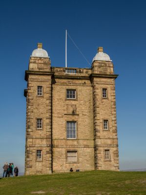
The Cage, tower in Lyme Park, Lyme Handley, Cheshire, UK
Location: Lyme Handley
Part of: Lyme Park
GPS coordinates: 53.34453,-2.05190
Latest update: March 11, 2025 15:39
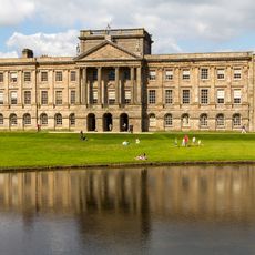
Lyme Park
741 m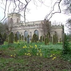
St Mary's Church, Disley
1.7 km
Lyme Park
740 m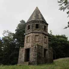
The Lantern
887 m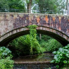
Hamper's Bridge
796 m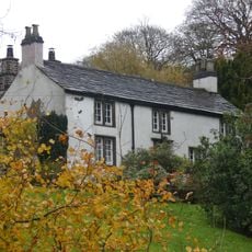
Lyme Gate Cottage
1.3 km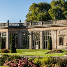
The Orangery
704 m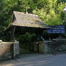
Lych gate to Church of St Mary
1.7 km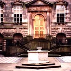
Wellhead at centre of Lyme Park's courtyard
740 m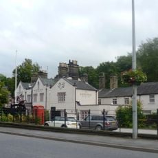
Ram's Head Hotel And Mounting Block
1.7 km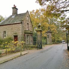
Lodge and Gatepiers and Gates on Lyme Park Drive
1.4 km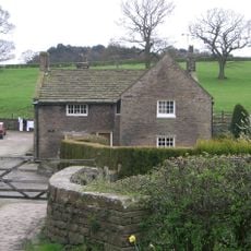
Brookside Farmhouse
1.7 km
Schoolhouse Surgery
1.7 km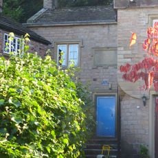
Extension To Parish Hall
1.7 km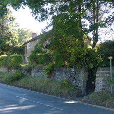
32, Buxton Old Road
1.7 km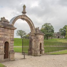
Gate piers, gates and railings, 48m north of north front of Lyme Park
676 m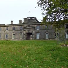
The Stables at Lyme Park
605 m
Cross base in the churchyard of St Mary
1.6 km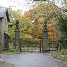
Gate piers to Lyme Park
1 km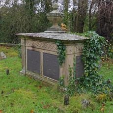
Tomb of Samuel Brady in the churchyard of St Mary
1.6 km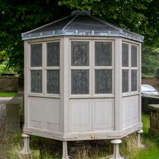
The Meat Safe; 20 metres North Of Orangery
680 m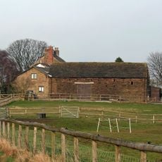
Corn barn 40 metres south of Green Farmhouse
1.6 km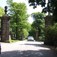
Forward gate piers to Lyme Park Drive
1.4 km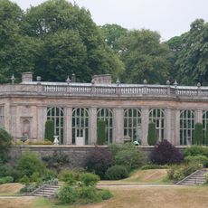
Terrace Wall And Steps In Front Of The Orangery
730 m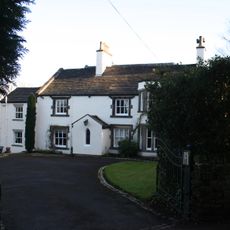
The Vicarage
1.5 km
Green Farmhouse
1.6 km
Former Stables At Ram's Head Hotel
1.7 km
Harestead Farmhouse
1.5 kmVisited this place? Tap the stars to rate it and share your experience / photos with the community! Try now! You can cancel it anytime.
Discover hidden gems everywhere you go!
From secret cafés to breathtaking viewpoints, skip the crowded tourist spots and find places that match your style. Our app makes it easy with voice search, smart filtering, route optimization, and insider tips from travelers worldwide. Download now for the complete mobile experience.

A unique approach to discovering new places❞
— Le Figaro
All the places worth exploring❞
— France Info
A tailor-made excursion in just a few clicks❞
— 20 Minutes