
Milestone, Stanford Bridge, milestone in Chetwynd, Telford And Wrekin, UK
Location: Telford and Wrekin
Inception: 19 century
GPS coordinates: 52.81138,-2.44043
Latest update: March 19, 2025 23:34

St Peter and Paul Church, Newport
6 km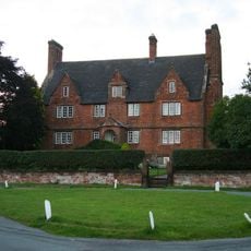
Forton Hall
5.7 km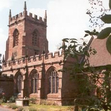
St Peter's Church, Edgmond
4.8 km
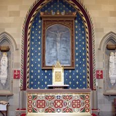
Talbot Chapel
5.8 km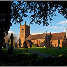
Church of St Michael
4 km
Church of St Mary
5.8 km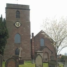
Church of St Oswald
2.7 km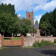
Church of All Saints
4.1 km
Church of St. Luke
1.2 km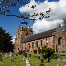
Church of All Saints
5.8 km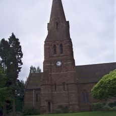
Church of St Michael and All Angels
4 km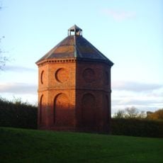
Dovecot West South West Of Chetwynd Park
4 km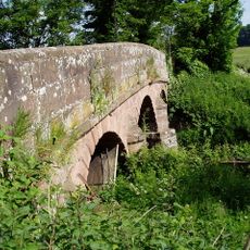
Puleston Bridge
3.6 km
Batchacre Hall
5.2 km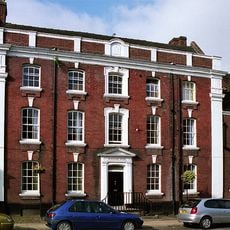
Beaumaris House
6.1 km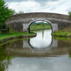
Shropshire Union Canal Bridge Number 52 (Fox Bridge)
4.5 km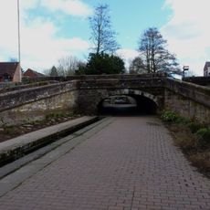
Roving bridge and lock called Newport Lock 255m south east of Wrekin View Farm
6 km
New Caynton Mill House
1.3 km
Longacre
5 km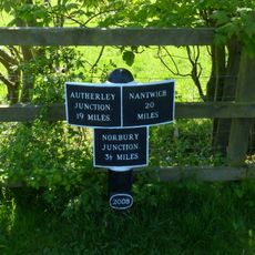
Milepost Shropshire Union Canal 3.5 Miles To North Of Norbury Junction
5.9 km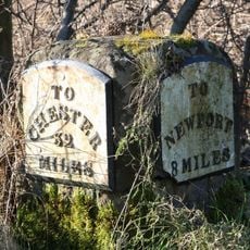
Milestone Approximately Twenty Metres To South West Of Number 5, Sweet Appletree
5.9 km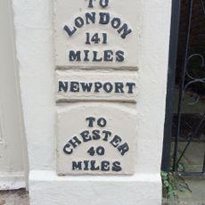
130, High Street
6.1 km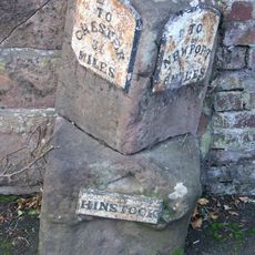
Milestone Approximately Ten Metres To South Of Holly House
2.8 km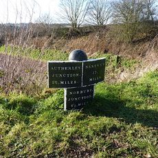
Shropshire Union Canal Milepost Approximately 25 Metres To South East Of Bridge Number 52
4.5 km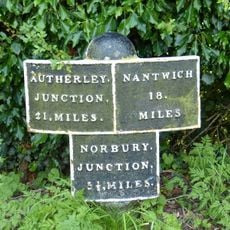
Milepost Approximately 150 Metres To West Of Bridge Number 48
4.5 km
Hinstock War Memorial
3.1 km
Milestone Approximately 210 Metres To South East Of The Four Crosses Inn
4.4 km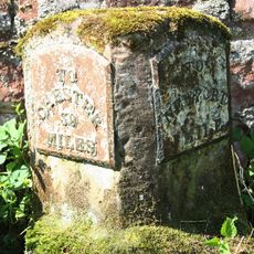
Milestone, Chetwynd Park; opp. Middle Lodge
4.8 kmReviews
Visited this place? Tap the stars to rate it and share your experience / photos with the community! Try now! You can cancel it anytime.
Discover hidden gems everywhere you go!
From secret cafés to breathtaking viewpoints, skip the crowded tourist spots and find places that match your style. Our app makes it easy with voice search, smart filtering, route optimization, and insider tips from travelers worldwide. Download now for the complete mobile experience.

A unique approach to discovering new places❞
— Le Figaro
All the places worth exploring❞
— France Info
A tailor-made excursion in just a few clicks❞
— 20 Minutes