
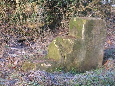
Milestone, opp Villa Farm entrance, milestone in Wigginton, York, UK
Location: City of York
Inception: 18 century
GPS coordinates: 54.00651,-1.09442
Latest update: March 7, 2025 09:41

Bootham Crescent
4.2 km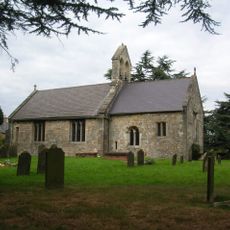
St Everilda's Church, Nether Poppleton
3.6 km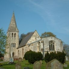
All Saints' Church, Huntington
2.2 km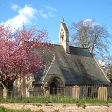
St Giles' Church, Skelton
2.7 km
Skelton Manor
2.7 km
Nether Poppleton Tithebarn
3.7 km
Church of St Philip and St James
4 km
The Old Grey Mare Public House
4.2 km
16, Clifton Green
4.1 km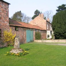
Overton Cross
4.1 km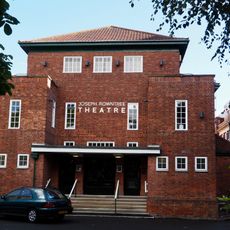
Joseph Rowntree Theatre
3.7 km
8, 10 and 12, Water End
4.1 km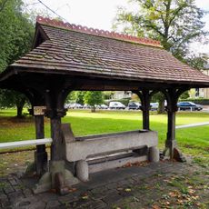
Horse drinking trough and canopy
4.1 km
Joseph Rowntree Memorial Library
3.8 km
Clifton Croft
4.3 km
68 and 70, Clifton
4.3 km
Garden wall and gates approximately 25 metres south east of the John Burrill Homes
4.1 km
134-140, Clifton Green
4 km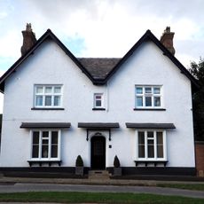
The White House
4.2 km
Ellison Terrace
4.1 km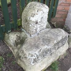
The Village Cross
2.4 km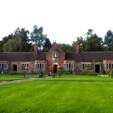
John Burrill Homes (NW block)
4.1 km
John Burrill Homes (NE block)
4.1 km
John Burrill Homes (SW block)
4.1 km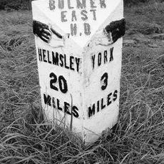
Milepost Opposite Villa Farm
63 m
Whitestone Cross At Grid Reference Ngr Se 6073 5367
3.7 km
Milepost Approximately 12 Metres To South Of Junction With Sandhole Lane
4.2 km
Milepost Approximately 250 Metres North West Of Blue Bridge
3.1 kmVisited this place? Tap the stars to rate it and share your experience / photos with the community! Try now! You can cancel it anytime.
Discover hidden gems everywhere you go!
From secret cafés to breathtaking viewpoints, skip the crowded tourist spots and find places that match your style. Our app makes it easy with voice search, smart filtering, route optimization, and insider tips from travelers worldwide. Download now for the complete mobile experience.

A unique approach to discovering new places❞
— Le Figaro
All the places worth exploring❞
— France Info
A tailor-made excursion in just a few clicks❞
— 20 Minutes