
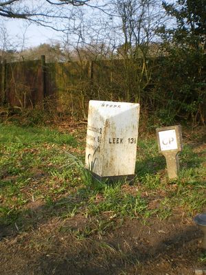
Milepost, N of Spot Acre, milepost in Stone, Stafford, UK
Location: Stafford
Inception: 19 century
GPS coordinates: 52.93540,-2.09071
Latest update: March 9, 2025 18:04

Foxfield Railway
8.2 km
Barlaston Hall
4.8 km
Oulton Abbey
3.7 km
Christ Church
3 km
Church of St John the Baptist
4.8 km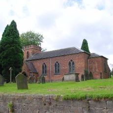
Church of St Nicholas
1.5 km
Church of St Margaret
4.9 km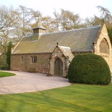
All Saint's Church
1.6 km
Stallington Hall Hospital And Attached Stables
1.8 km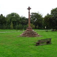
Barlaston War Memorial
4.7 km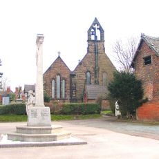
Forsbrook and Blythe Bridge War Memorial
4.1 km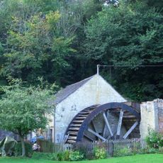
Coppice Mill
4.3 km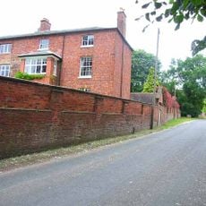
Oulton Old Hall
3.7 km
St Mary's Abbey
3.7 km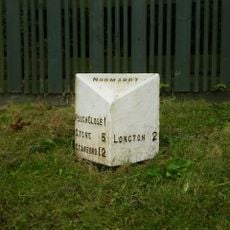
Milepost, Lightwood
3.7 km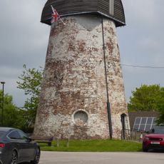
Windmill (Now Used As A Transmitter Station)
2.7 km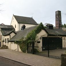
Hayes Mill
3.8 km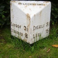
Milepost, Hilderstone village
3.1 km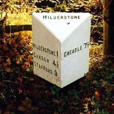
Milepost, S of Bird Grove
2.5 km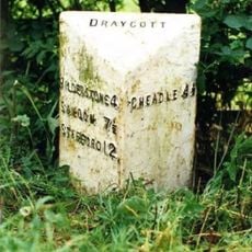
Milepost, Manor Farm, between Draycott & Cresswell, nr jct
4.7 km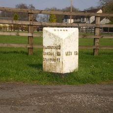
Milepost, S of Meir Heath
1.6 km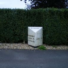
Milepost, Meir Heath
3.2 km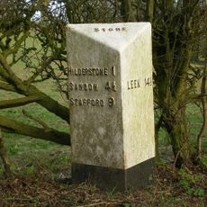
Milepost, near Spot Farm, N of Hilderstone
1.6 km
Milepost, near Moddershall
2.6 km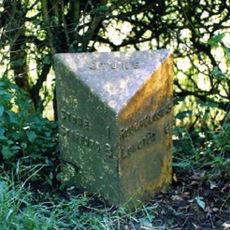
Milepost, near Oulton Cross jct
3.8 km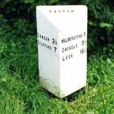
Milepost, Hilderstone Cross Roads (jct with B5027)
4.6 km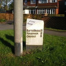
Milepost, between Meir Heath & Blythe Bridge
2.9 km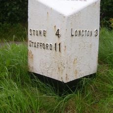
Milepost, Rough Close
2.4 kmReviews
Visited this place? Tap the stars to rate it and share your experience / photos with the community! Try now! You can cancel it anytime.
Discover hidden gems everywhere you go!
From secret cafés to breathtaking viewpoints, skip the crowded tourist spots and find places that match your style. Our app makes it easy with voice search, smart filtering, route optimization, and insider tips from travelers worldwide. Download now for the complete mobile experience.

A unique approach to discovering new places❞
— Le Figaro
All the places worth exploring❞
— France Info
A tailor-made excursion in just a few clicks❞
— 20 Minutes