
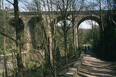
Union Road Bridge, New Mills, road viaduct over the River Goyt at New Mills, Derbyshire, UK
Location: New Mills
Official opening: June 7, 1884
GPS coordinates: 53.36391,-2.00076
Latest update: September 23, 2025 16:56
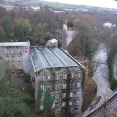
Torr Vale Mill
190 m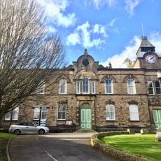
New Mills Town Hall
472 m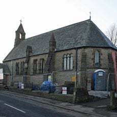
Church of St James the Less and Attached Almshouses
670 m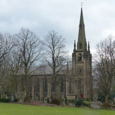
Church of St George
489 m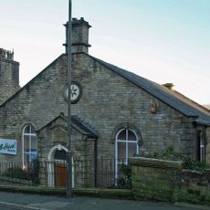
New Mills Free Church
602 m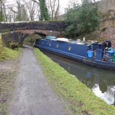
Peak Forest Canal overbridge on Peak Forest Canal near Buxton Road
702 m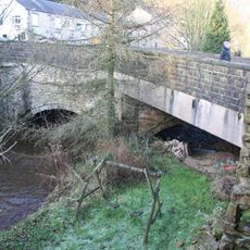
The Bridge
657 m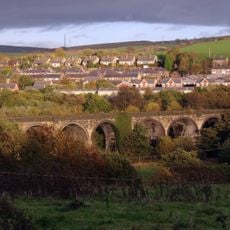
Goyt Viaduct, New Mills
379 m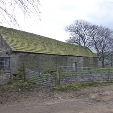
Barn At Beard Hall Farm
926 m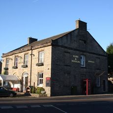
The Hare And Hounds Hotel
889 m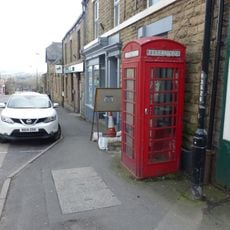
K6 Telephone Kiosk
144 m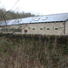
The Cruck Barn
593 m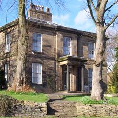
Highlee Hall
464 m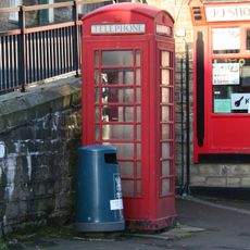
K6 Telephone Kiosk
387 m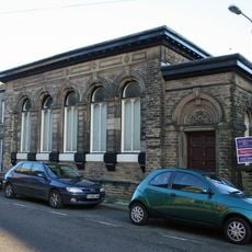
Nos 34 And 36 (Former Bank Building And Attached Boundary Wall)
428 m
Beard Hall Farmhouse
993 m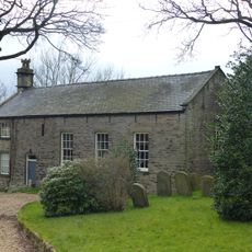
Friend's Meeting House
835 m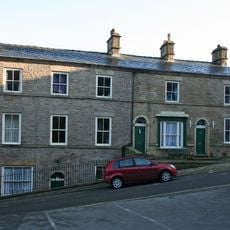
The George Hotel
548 m
109 And 111, High Street
723 m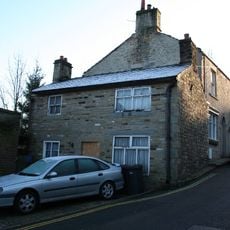
66, High Street
533 m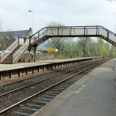
Footbridge At New Mills Station
702 m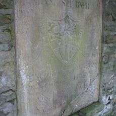
Stone Wall With Plaque In Car Park To The North Of The Mason's Arms Public House
563 m
Storehouse (formerly carriage house to Highlee Hall)
485 m
117, High Street
746 m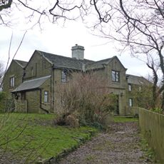
Eaves Knoll Farmhouse and attached farm building
946 m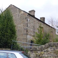
3 And 5, Laneside Road
911 m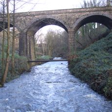
River Sett railway bridge
132 m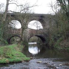
Church Road Bridge, New Mills
101 mReviews
Visited this place? Tap the stars to rate it and share your experience / photos with the community! Try now! You can cancel it anytime.
Discover hidden gems everywhere you go!
From secret cafés to breathtaking viewpoints, skip the crowded tourist spots and find places that match your style. Our app makes it easy with voice search, smart filtering, route optimization, and insider tips from travelers worldwide. Download now for the complete mobile experience.

A unique approach to discovering new places❞
— Le Figaro
All the places worth exploring❞
— France Info
A tailor-made excursion in just a few clicks❞
— 20 Minutes