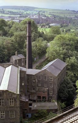
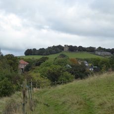
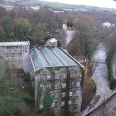
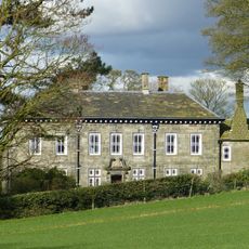
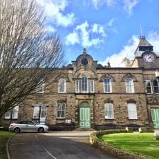
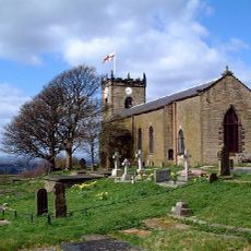
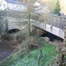
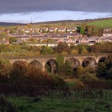
New Mills, town and civil parish in Derbyshire, England
Location: High Peak
Shares border with: Mellor, Hayfield, Chisworth, Chinley, Buxworth and Brownside, Whaley Bridge, Disley
Website: https://newmillstowncouncil.gov.uk
GPS coordinates: 53.36700,-2.00700
Latest update: March 4, 2025 14:47
Mellor hill fort
3.7 km
Torr Vale Mill
352 m
Mellor Hall
3.8 km
New Mills Town Hall
366 m
Brown Low
5.4 km
Ludworth Intake
5.6 km
St. Thomas' Church, Mellor
3.6 km
Shaw Cairn
1.9 km
Church of St James the Less and Attached Almshouses
536 m
Church of St George
862 m
Canal Bridge Number 26
1.7 km
Aspenshaw Hall
2.8 km
New Mills Free Church
569 m
Methodist Chapel
4.2 km
Fox Inn
1.4 km
Little Mill Inn
3.7 km
Kinder Lodge
4.2 km
Pear Tree Farmhouse
4.4 km
Lower Greenshall
1.4 km
Peak Forest Canal overbridge on Peak Forest Canal near Buxton Road
1.1 km
Stocks in graveyard of Church of St Thomas the Apostle
3.6 km
Hague Bridge
1.1 km
22, New Mills Road
4.2 km
Canal Bridge Number 27
1.3 km
The Hare And Hounds Hotel
1.2 km
Barn At Beard Hall Farm
1.5 km
The Bridge
624 m
Goyt Viaduct, New Mills
902 mVisited this place? Tap the stars to rate it and share your experience / photos with the community! Try now! You can cancel it anytime.
Discover hidden gems everywhere you go!
From secret cafés to breathtaking viewpoints, skip the crowded tourist spots and find places that match your style. Our app makes it easy with voice search, smart filtering, route optimization, and insider tips from travelers worldwide. Download now for the complete mobile experience.
A unique approach to discovering new places❞
— Le Figaro
All the places worth exploring❞
— France Info
A tailor-made excursion in just a few clicks❞
— 20 Minutes