
Skersabaliai Geomorphological Reserve
Location: Vilnius District Municipality
GPS coordinates: 54.79111,25.60528
Latest update: November 15, 2025 09:30
The Holy Rock
9.6 km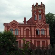
Arvydai-Bezdonys Manor
5.6 km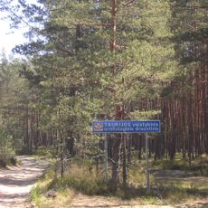
Taurija Ornitological Reserve
3.2 km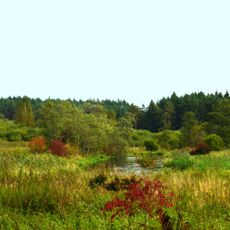
Vilnia Hydrographical Reserve
6.5 km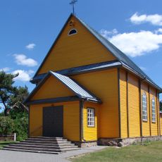
Church of Our Lady of the Gate of Dawn, Mother of Mercy, Bezdonys
5.7 km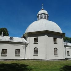
Church of St. George
9.5 km
Baravykine Landscape Reserve
9.1 km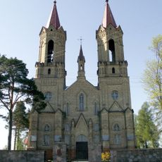
Church of St. John the Baptist, Lavoriškės
9.4 km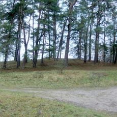
Lavoriškės hillfort
9.4 km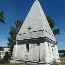
Radziszewski family chapel, Buivydžiai
9.5 km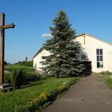
Chapel in Mostiškės
4.9 km
Old chapel, Mostiškės
4.6 km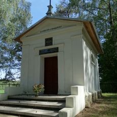
St. Ignatius Chapel, Pričiūnai
6.2 km
Uosininkų III piliakalnis
9.3 km
Arvydų-Bezdonių dvaras
5.6 km
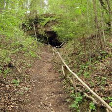
Skališkės cave
9.6 km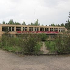
Soviet Bunker museum
6.3 km
Dekaniškių tvenkinys
5.7 km
Mostiškių I tvenkinys
4.9 km
Mostiškių II tvenkinys
4.3 km
Nemenčinės II tvenkinys
9.7 km
Arvydų tvenkinys
4.6 km
Trinkulio tvenkinys
5.2 km
Lobinių tvenkinys
5.9 km
White Mud Beach
9.1 km
Vaizdas į Neries salą ir Lietuvos-Baltarusijos valstybių sienų susikirtimą
10.1 km
Kirtimų tvenkinys
4.2 km
Kaniūkų tvenkinys
8.1 kmReviews
Visited this place? Tap the stars to rate it and share your experience / photos with the community! Try now! You can cancel it anytime.
Discover hidden gems everywhere you go!
From secret cafés to breathtaking viewpoints, skip the crowded tourist spots and find places that match your style. Our app makes it easy with voice search, smart filtering, route optimization, and insider tips from travelers worldwide. Download now for the complete mobile experience.

A unique approach to discovering new places❞
— Le Figaro
All the places worth exploring❞
— France Info
A tailor-made excursion in just a few clicks❞
— 20 Minutes