
Mikniūnų akmuo
Location: Rokiškis District Municipality
GPS coordinates: 55.75626,25.48912
Latest update: September 25, 2025 07:41
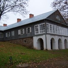
Adomynė Manor
11.5 km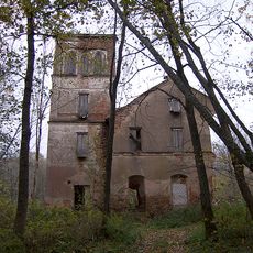
Svėdasai manor
10.5 km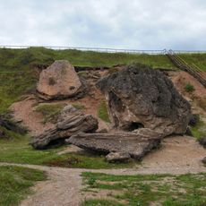
Šeimyniškiai outcrop
13.3 km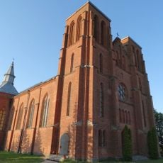
Church of St. Casimir, Kamajai
7.4 km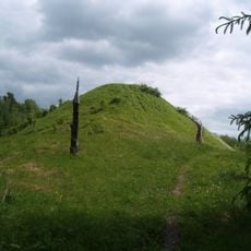
Šeimyniškiai hillfort
13.8 km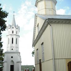
Church of St. Michael the Archangel, Svėdasai
11.4 km
Rudžių piliakalnis
9.1 km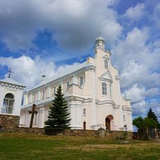
Church of St. Michael the Archangel, Jūžintai
11.8 km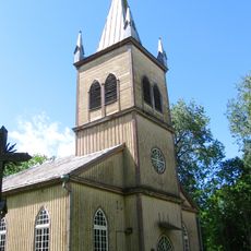
Church of the Holy Cross, Salos
9.8 km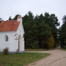
Bajorai chapel
11.8 km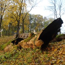
Salų tuopa
9.6 km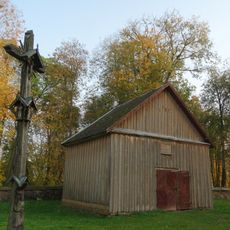
Salos churchyard chapel
9.8 km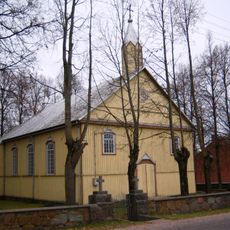
Church of the Holy Name of the Virgin Mary, Adomynė
11.5 km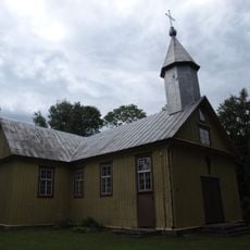
Church of St. Anne, Duokiškis
2.6 km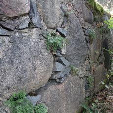
Wall-rue habitat
11.1 km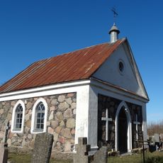
Cemetery chapel, Svėdasai
11.8 km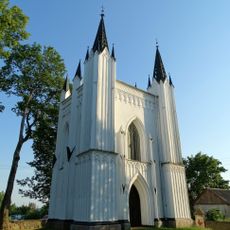
Moriconi family chapel, Svėdasai
11.5 km
Baušiškių piliakalnis
12.2 km
Rudžių akmuo
10.1 km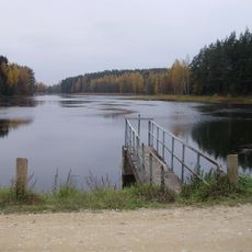
Jotkonių tvenkinys
12 km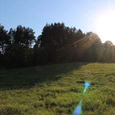
Dauliūnų piliakalnis
7.7 km
Sidariškio akmuo
11 km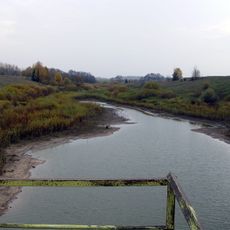
Savičiūnų tvenkinys
4.9 km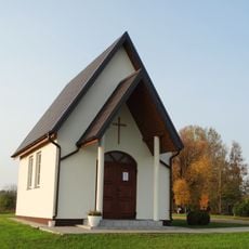
Kalviai chapel
2.2 km
Kamajai churchyard chapel
7.4 km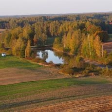
Duokiškio tvenkinys
3.1 km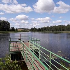
Laukagalių tvenkinys
4.8 km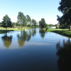
Adomynės tvenkinys
11.5 kmReviews
Visited this place? Tap the stars to rate it and share your experience / photos with the community! Try now! You can cancel it anytime.
Discover hidden gems everywhere you go!
From secret cafés to breathtaking viewpoints, skip the crowded tourist spots and find places that match your style. Our app makes it easy with voice search, smart filtering, route optimization, and insider tips from travelers worldwide. Download now for the complete mobile experience.

A unique approach to discovering new places❞
— Le Figaro
All the places worth exploring❞
— France Info
A tailor-made excursion in just a few clicks❞
— 20 Minutes