Stonaičių IV tvenkinys, reservoir in Lithuania
Location: Plungė District Municipality
GPS coordinates: 55.88861,21.73917
Latest update: November 18, 2025 06:39

Church of St. John the Baptist, Plungė
6.8 km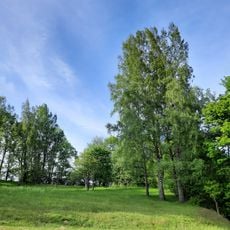
Gandinga hillfort
2 km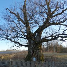
Mingėlos ąžuolas
2.1 km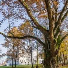
Perkūnas Oak
7.3 km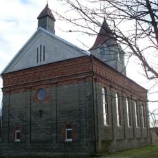
Church of St. Anthony of Padua, Pakutuvėnai
3.3 km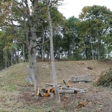
Plungės piliakalnis
6.4 km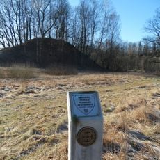
Nausodžio piliakalnis
2.1 km
Varkaliai hillfort
2.4 km
Lieplaukalės piliakalnis
7.2 km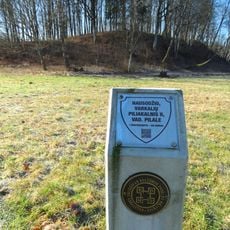
Nausodis II hillfort
2.3 km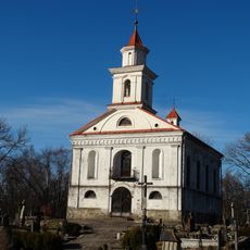
Plungė cemetery chapel
6.4 km
Vieštovėnų piliakalnis
1.5 km
Pakutuvėnų piliakalnis
4.5 km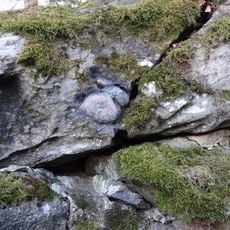
Plungės akmuo su Karvės pėda
6.1 km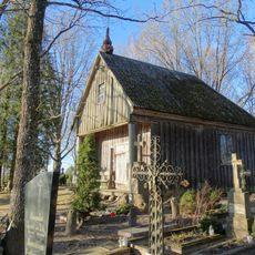
Pakutuvėnai cemetery chapel
3.2 km
Stonaičių I tvenkinys
472 m
Prūsalių II tvenkinys
4.5 km
Plungės parko IV tvenkinys
7.1 km
Stonaičių II tvenkinys
262 m
Varkalių I tvenkinys
5 km
Varkalių II tvenkinys
5 km
Palankės tvenkinys
7.1 km
Prūsalių I tvenkinys
3.7 km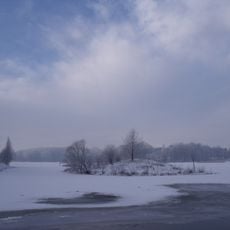
Gondingos HE tvenkinys
5.7 km
Narvaišių tvenkinys
6.6 km
Park dworski Płungiany
7.2 km
Babrungo slėnio estrada
7.2 km
Turret clock, clock, clock tower
7.2 kmReviews
Visited this place? Tap the stars to rate it and share your experience / photos with the community! Try now! You can cancel it anytime.
Discover hidden gems everywhere you go!
From secret cafés to breathtaking viewpoints, skip the crowded tourist spots and find places that match your style. Our app makes it easy with voice search, smart filtering, route optimization, and insider tips from travelers worldwide. Download now for the complete mobile experience.

A unique approach to discovering new places❞
— Le Figaro
All the places worth exploring❞
— France Info
A tailor-made excursion in just a few clicks❞
— 20 Minutes