
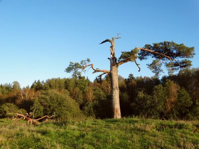
Dirgėlų pušis, išskirtinė pušis, auganti Šilalės rajone, Kaltinėnų seniūnijoje, paribyje su Kelmės rajonu, Dirgėlų kaime, už 1,8 km į rytus nuo kelio {{RK4607}}, 5 km į šiaurės rytus nuo Kaltinėnų, 2 km į pietvakarius nuo Pašilės (Kelmės raj
Height: 15 m
GPS coordinates: 55.60254,22.49646
Latest update: September 25, 2025 07:41
Varniai Regional Park
14.1 km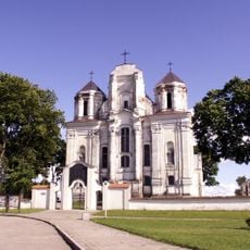
Church of the Immaculate Conception, Kražiai
12.5 km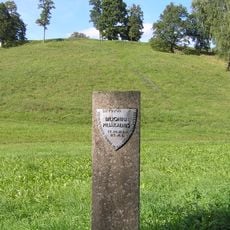
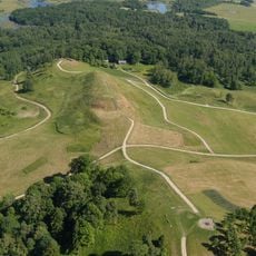
Biloniai Hillfort
11 km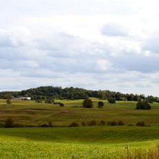
Girgždūtė
10 km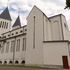
Church of St. John the Baptist, Kaltinėnai
5.1 km
Kepaluškalnis
5.6 km
Church of the transfiguration of Jesus Christ, Požerė
12.7 km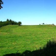
Prienai hillfort
11.8 km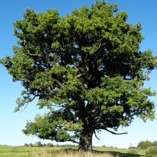
Šventragių ąžuolas
7.6 km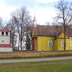
Church of St. Bartholomew, Karklėnai
7.7 km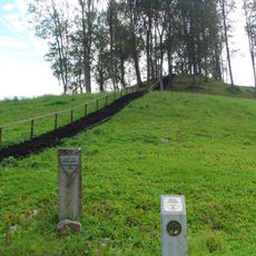
Pagrybis hillfort
7.5 km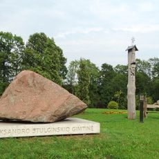
A. Stulginskis Memorial Park
7 km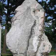
Rauškas stone
11.4 km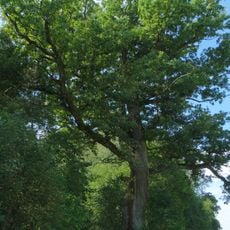
Antininkų ąžuolas
12.4 km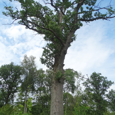
Pundžiai Oak
7.2 km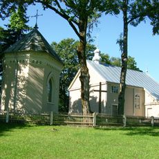
Church of St. Roch in Varsėdžiai
14 km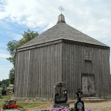
Chapel in Kaltinėnai
5.3 km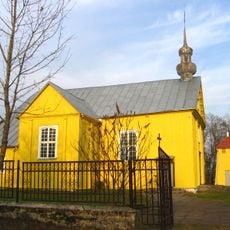
Church of St. George, Pašilė
2.8 km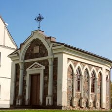
Kražiai St. Roch chapel
12.5 km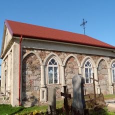
Kražiai cemetery chapel
12.5 km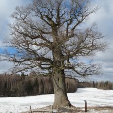
Laumenai oak
8.9 km
Gedminiškė hillfort
7.2 km
Didieji Vankiai stone
10.9 km
Dungeriukai hillfort
12.8 km
Pagrybio kapinynas
8.9 km
Gedminiškės II piliakalnis
6.7 km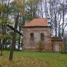
Chapel in Linkaučiai
10.7 km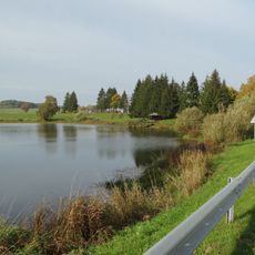
Palentinio tvenkinys
5.5 kmReviews
Visited this place? Tap the stars to rate it and share your experience / photos with the community! Try now! You can cancel it anytime.
Discover hidden gems everywhere you go!
From secret cafés to breathtaking viewpoints, skip the crowded tourist spots and find places that match your style. Our app makes it easy with voice search, smart filtering, route optimization, and insider tips from travelers worldwide. Download now for the complete mobile experience.

A unique approach to discovering new places❞
— Le Figaro
All the places worth exploring❞
— France Info
A tailor-made excursion in just a few clicks❞
— 20 Minutes