
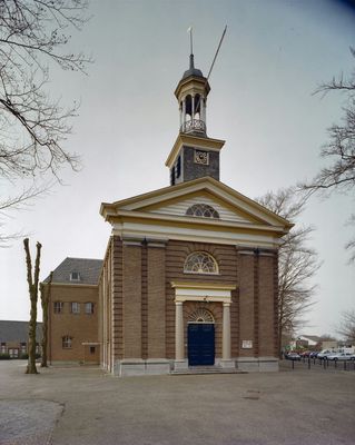
Hervormde Gemeente Doornspijk, church in Doornspijk, Netherlands
Location: Elburg
Inception: 1829
GPS coordinates: 52.41641,5.81507
Latest update: March 6, 2025 04:56

Klarenbeek
201 m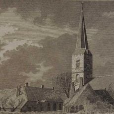
Sint-Ludgeruskerk
2 km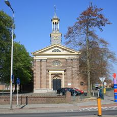
Dorpskerk
17 m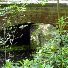
Klarenbeek: brug ten oosten van huis klarenbeek
202 m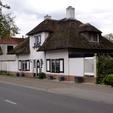
Landgoed Klarenbeek
261 m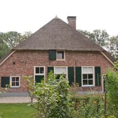
De Plakke, Nunspeet
3.2 km
De Plakke: kippenren
3.2 km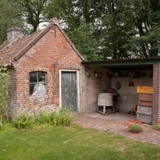
De Plakke: bakhuisje
3.2 km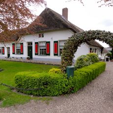
Oude Hogeweg 16, Doornspijk
679 m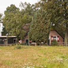
Oosteinderweg 83, Nunspeet
3.1 km
Oude Harderwijkerweg 57, Doornspijk
2.2 km
Boerderij met de nokas haaks op de weg gesitueerd
2.7 km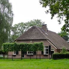
Schootbruggeweg 1, Doornspijk
2 km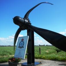
Short Stirling-monument
2.1 km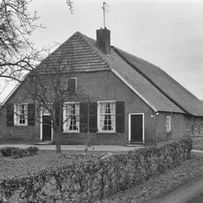
Zuiderzeestraatweg 139, Doornspijk
1.3 km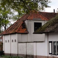
Klarenbeek: garage/koetshuis
261 m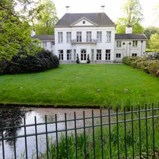
Klarenbeek: hoofdgebouw
202 m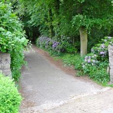
Klarenbeek: betonnen pijlers inrijhek oostzijde
413 m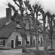
Zuiderzeestraatweg West 154, Doornspijk
1.5 km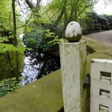
Klarenbeek: historische tuin- en parkaanleg
413 m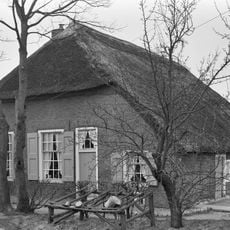
Schiksweg 8, Doornspijk
1.6 km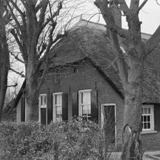
Boerderij van het type hallehuis
1.7 km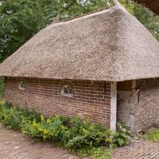
De Plakke: varkensschuur
3.2 km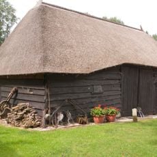
De Plakke: houten veeschuur
3.2 km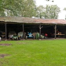
De Plakke: wagenschuur
3.2 km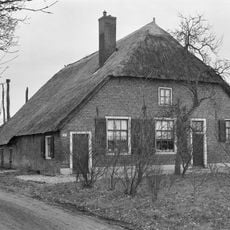
Zuiderzeestraatweg West 111, Doornspijk
557 m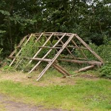
De Plakke: twee hooibergen
3.2 km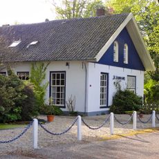
Klarenbeek: voormalig koetshuis
202 mVisited this place? Tap the stars to rate it and share your experience / photos with the community! Try now! You can cancel it anytime.
Discover hidden gems everywhere you go!
From secret cafés to breathtaking viewpoints, skip the crowded tourist spots and find places that match your style. Our app makes it easy with voice search, smart filtering, route optimization, and insider tips from travelers worldwide. Download now for the complete mobile experience.

A unique approach to discovering new places❞
— Le Figaro
All the places worth exploring❞
— France Info
A tailor-made excursion in just a few clicks❞
— 20 Minutes