
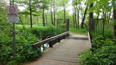
Heemtuinbrug, footbridge in Rotterdam
Location: Rotterdam
Inception: 1990
GPS coordinates: 51.94202,4.51342
Latest update: April 22, 2025 13:20
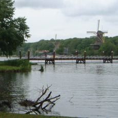
Kralingen Lake
820 m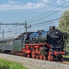
Stoom Stichting Nederland
494 m
Observatorium Nieuw-Terbregge
761 m
Strand Kralingse Plas
154 m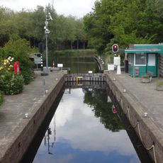
Kralingse Verlaat
1.1 km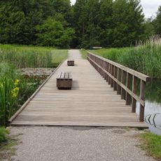
Naaldbomenpadvlonderbrug
89 m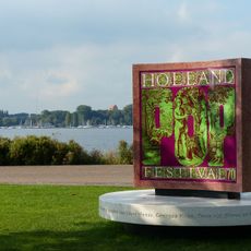
Holland Pop Monument
1.1 km
Paradijsbrug
1.1 km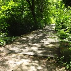
1e Heemtuinvlonderbrug
89 m
Willy Lagermanstraatbrug
962 m
Oude Paradijsbrug
1.1 km
1e Dirk van Prooijesingelbrug
911 m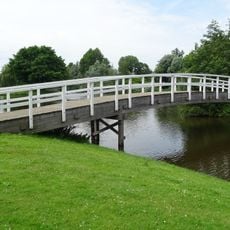
Piet van de Polsingelbrug
869 m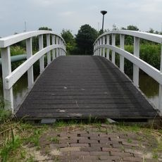
2e Marie Overeijnderwegbrug
1.1 km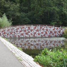
2e Plaszoombrug
944 m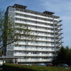
Kralingse Plaslaanflat
1.2 km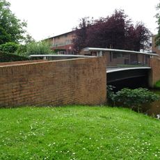
Marie Baronstraatbrug
1 km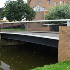
Willy den Oudenstraatbrug
1.1 km
Operatie Manna
785 m
4e Heemtuinvlonderbrug
72 m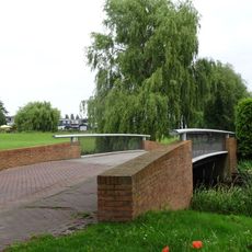
Zus Braunstraatbrug
1.1 km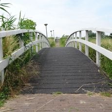
1e Marie Overeijnderwegbrug
1.1 km
Spoorbrug Terbregseweg
1.1 km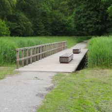
Eekhoornpadvlonderbrug
121 m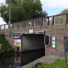
Langepadbrug
1.1 km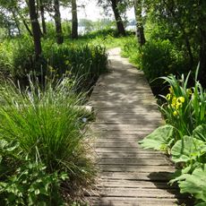
2e Heemtuinvlonderbrug
150 m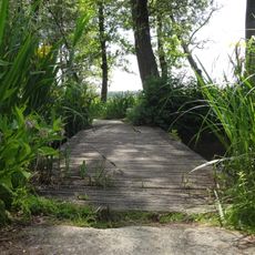
3e Heemtuinvlonderbrug
119 m
Clubgebouw Rotterdamsche Zeilvereeniging
1.1 kmReviews
Visited this place? Tap the stars to rate it and share your experience / photos with the community! Try now! You can cancel it anytime.
Discover hidden gems everywhere you go!
From secret cafés to breathtaking viewpoints, skip the crowded tourist spots and find places that match your style. Our app makes it easy with voice search, smart filtering, route optimization, and insider tips from travelers worldwide. Download now for the complete mobile experience.

A unique approach to discovering new places❞
— Le Figaro
All the places worth exploring❞
— France Info
A tailor-made excursion in just a few clicks❞
— 20 Minutes