Pic de Chaudun, Mountain summit in Provence-Alpes-Côte d'Azur, France.
Pic de Chaudun is a mountain summit in the French Alps reaching 2324 meters (7625 feet) elevation between the Hautes-Alpes and Alpes-de-Haute-Provence departments. The peak stands out as a clear landmark when viewing the surrounding Alpine ridges and valleys.
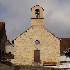
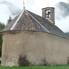
The summit area contains remnants of the ancient settlement of Chaudun, which hikers can observe along the trail route. These traces mark past human presence in this high mountain terrain.
The peak serves as a natural boundary marker between different Alpine communities, connecting the territories of Pontis, Crots, and Savines-le-Lac.
The hike to this summit starts from the Col de Gleize parking area and covers about 14 kilometers with substantial elevation gain requiring good fitness. The trail passes through changing alpine vegetation zones as it climbs toward the peak.
From the peak, visitors enjoy a wide view reaching across multiple mountain ranges including the Baronnies, Préalpes de Digne, and Écrins to the west. The vista extends eastward toward the Ubaye range creating a panoramic circle of summits.
GPS coordinates: 44.63387,6.04035
Latest update: December 15, 2025 13:29
Château de Charance
6.5 km
Chapelle Notre-Dame de Bois-Vert
3.8 km
National Alpine Botanical Conservatory
6.5 km
Monument de la Résistance du Champsaur-Valgaudemar
4.7 km
Chapelle Saint-Grégoire des Farreaux
3.3 km
Château de Charance
6.5 km
Église Saint-Louis-Roi-de-France de Forest-Saint-Julien
7.3 km
Golf de Gap-Bayard
4.7 km
Chapelle Sainte-Marie-l'Égyptienne à Saint-Laurent-du-Cros
4.9 km
Église Saint-Martin-de-Tours de Poligny
6.5 km
Notre Dame De Bois Vert
3.8 km
Chapelle de la Nativité-de-la-Vierge de Brutinel
4.6 km
Chapelle de Villard Trottier
7.4 km
Église de Saint-Laurent-du-Cros
5.6 km
Église de Laye
3.7 km
Église de Rabou
5.7 km
Église de l'Assomption-de-Marie de La Fare-en-Champsaur
3.9 km
Église paroissiale de Saint-Bonnet-en-Champsaur
6 km
Chapelle Saint-Antoine du Forest
7.3 km
Chapelle Saint-Grégoire des Forestons
6.2 km
Chapelle de la Sainte-Famille des Alliberts
7.2 km
Chapelle des Allards
5.4 km
Chapelle Sainte-Anne de Villeneuve
7.4 km
Temple de Saint-Laurent-du-Cros
5.9 km
Chapelle Saint-Laurent du Chânet
7.3 km
Chapelle Saint-Roch de Serre-Richard
6.4 km
Chapelle Saint-Roch de l'Aullagnier
6.7 km
Chapelle Saint-Étienne de Poligny
5.8 kmVisited this place? Tap the stars to rate it and share your experience / photos with the community! Try now! You can cancel it anytime.
Discover hidden gems everywhere you go!
From secret cafés to breathtaking viewpoints, skip the crowded tourist spots and find places that match your style. Our app makes it easy with voice search, smart filtering, route optimization, and insider tips from travelers worldwide. Download now for the complete mobile experience.
A unique approach to discovering new places❞
— Le Figaro
All the places worth exploring❞
— France Info
A tailor-made excursion in just a few clicks❞
— 20 Minutes