La Roche des Fées
Location: Turquestein-Blancrupt
GPS coordinates: 48.58484,7.03747
Latest update: November 20, 2025 16:53
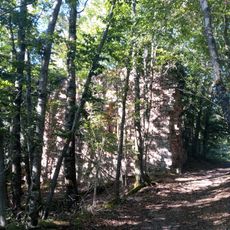
Château de Turquestein
385 m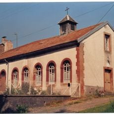
Temple réformé de Lafrimbolle
2.4 km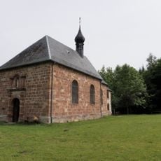
Chapelle Notre-Dame-de-Lhor
4.6 km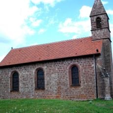
Haute-Chapelle de Saint-Quirin
3.3 km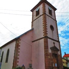
Église Saint-Florent de Bertrambois
4.4 km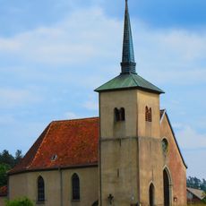
Église Saint-Michel de Lafrimbolle
1.7 km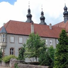
Prieuré de Saint-Quirin
3.4 km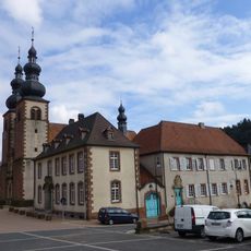
Église Saint-Quirin de Saint-Quirin
3.4 km
Orgue de tribune de l'église Saint-Quirin de Saint-Quirin
3.4 km
Chapelle Sainte-Claire de Saint-Quirin
5.6 km
Château de Châtillon
3.7 km
Roche de Druides
4.3 km
Rocher du Lampertstein
2.7 km
Scenic viewpoint
382 m
Le Kiosque
2.8 km
Chapelle-Haute
3.3 km
Le Grand Rougimont
3.8 km
Roche Robert Jambois
2.2 km
Memorial, war memorial
2.6 km
Wayside cross
4.6 km
Pierre à cupule
2.7 km
Autel en Grès
3.2 km
Monument des passeurs lorrains 1940-1945
4.3 km
Catholic church building, wayside cross, Christianity
4.2 km
Memorial, war memorial
4.5 km
Stèle des fusillés
4.5 km
Wayside cross
5.4 km
Stèle Lucien Cambas
3.4 kmReviews
Visited this place? Tap the stars to rate it and share your experience / photos with the community! Try now! You can cancel it anytime.
Discover hidden gems everywhere you go!
From secret cafés to breathtaking viewpoints, skip the crowded tourist spots and find places that match your style. Our app makes it easy with voice search, smart filtering, route optimization, and insider tips from travelers worldwide. Download now for the complete mobile experience.

A unique approach to discovering new places❞
— Le Figaro
All the places worth exploring❞
— France Info
A tailor-made excursion in just a few clicks❞
— 20 Minutes