
Belvédère de la Carelle
Location: La Palud-sur-Verdon
GPS coordinates: 43.77521,6.38396
Latest update: October 24, 2025 17:38
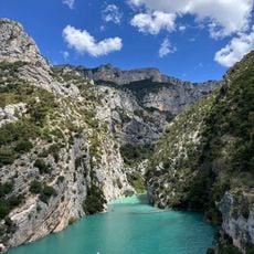
Verdon Gorge
5.3 km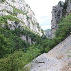
Sentier Martel
4.5 km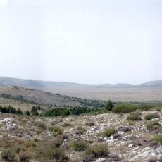
Plan de Canjuers
9.6 km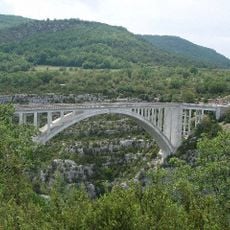
Pont de l'Artuby
5 km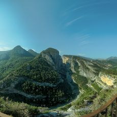
Point Sublime
2.2 km
Couloir Samson
1.8 km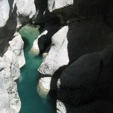
Styx du Verdon
5.5 km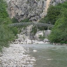
L'Estellier Footbridge
5 km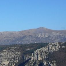
Mourre de Chanier
7.9 km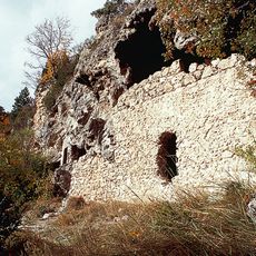
Grottes de Saint-Maurin
10.1 km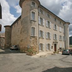
Château de la Palud-sur-Verdon
3.5 km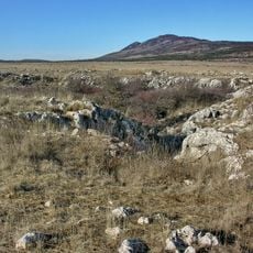
Grand Margès
8.8 km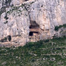
Chapelle Notre-Dame de la Baume
6.4 km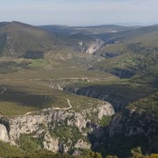
Canyon de l'Artuby
6.4 km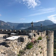
Château de Trigance
5.1 km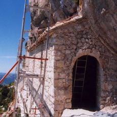
Chapelle rupestre de Saint-Trophime
9.1 km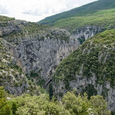
Réserve naturelle régionale de Saint-Maurin
10 km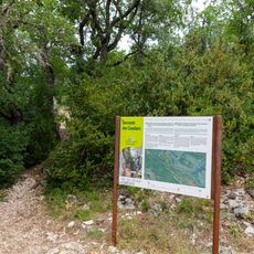
Starting Point of the Blanc-Martel Trail
4.5 km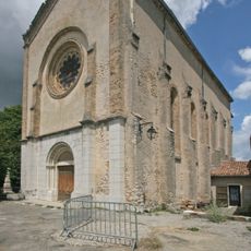
Église Notre-Dame de Vauvert
3.4 km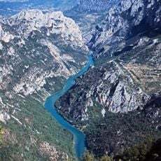
Col d'Illoire
10 km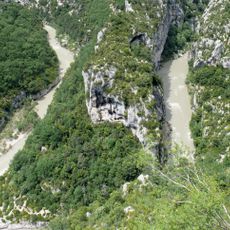
View from the Balcon de la Mescla
3.8 km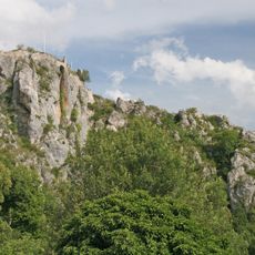
Château de Rougon
2.9 km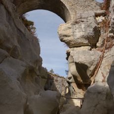
Pont de Sautet
4.7 km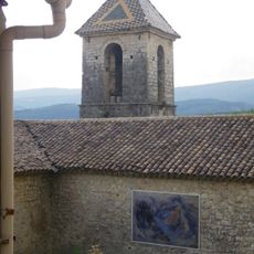
Église Saint-Michel de Trigance
4.9 km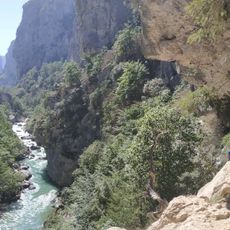
Sentier de L'Imbut
5.2 km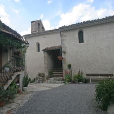
Église Notre-Dame-de-la-Roche-et-Saint-Romain de Rougon
3 km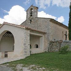
Chapelle Saint-Christophe de Rougon
3 km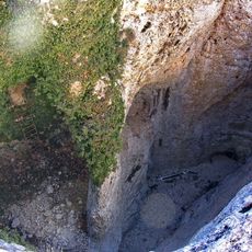
Grand aven de Canjuers
10.1 kmVisited this place? Tap the stars to rate it and share your experience / photos with the community! Try now! You can cancel it anytime.
Discover hidden gems everywhere you go!
From secret cafés to breathtaking viewpoints, skip the crowded tourist spots and find places that match your style. Our app makes it easy with voice search, smart filtering, route optimization, and insider tips from travelers worldwide. Download now for the complete mobile experience.

A unique approach to discovering new places❞
— Le Figaro
All the places worth exploring❞
— France Info
A tailor-made excursion in just a few clicks❞
— 20 Minutes