Fountain
Location: Serrières-en-Chautagne
GPS coordinates: 45.89021,5.84291
Latest update: September 18, 2025 10:07
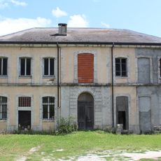
Château d'Anglefort
3.5 km
Château de châteaufort
4.6 km
Maison forte du Grand Mercoras
2.9 km
Écluse de Chautagne
2.6 km
Château de Château Denys
1.2 km
Maison forte de Motz
4.3 km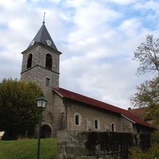
Église Saint-Martin d'Anglefort
3.4 km
Chaînon de la Montagne des Princes, du Gros Foug et de la Montagne de Cessens
4.2 km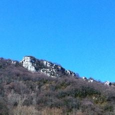
Château des Sarrasins of Châtel
4.3 km
Cours du Rhône majeur de Seyssel à l'île des Brotteaux
2.2 km
Val de Fier
5.1 km
Montagne du Gros Foug
1.9 km
Parc du Château de Mieugy
3.5 km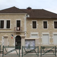
Mairie d'Anglefort
3.7 km
Pentes et falaises de Champriond
2.9 km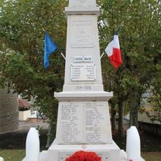
War memorial of Anglefort
3.7 km
Château de Mieugy
5 km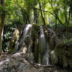
Cascade Pétrifiante
1.2 km
Point de Vue
3.4 km
Scenic viewpoint
1.7 km
Château des Sarrasins
4.2 km
Fours à carboniser du Camp III
2.8 km
Belvédère du Mont Clergeon
4.3 km
Christianity, wayside cross
1.3 km
Memorial, war memorial
4.7 km
Christianity, Catholic church building, wayside shrine
4.9 km
La Grande Cuve
3.9 km
Wayside cross
5 kmReviews
Visited this place? Tap the stars to rate it and share your experience / photos with the community! Try now! You can cancel it anytime.
Discover hidden gems everywhere you go!
From secret cafés to breathtaking viewpoints, skip the crowded tourist spots and find places that match your style. Our app makes it easy with voice search, smart filtering, route optimization, and insider tips from travelers worldwide. Download now for the complete mobile experience.

A unique approach to discovering new places❞
— Le Figaro
All the places worth exploring❞
— France Info
A tailor-made excursion in just a few clicks❞
— 20 Minutes