Scenic viewpoint
Location: Serrières-en-Chautagne
GPS coordinates: 45.88708,5.86399
Latest update: October 24, 2025 17:39
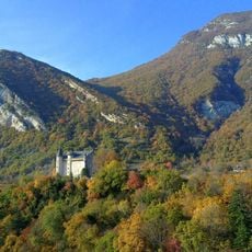
Château de Montvéran
7.9 km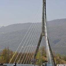
Pont de Seyssel
7.7 km
Château d'Anglefort
4.9 km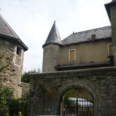
Château de Lornay
4.6 km
Maison forte du Grand Mercoras
3 km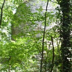
Château de Crête
6.4 km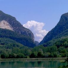
Gorges du Val du Fier
5.1 km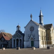
Chapelle Notre-Dame-de-l'Aumône
7.2 km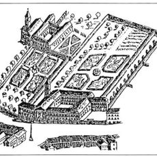
Couvent des bernardines de Rumilly
6.7 km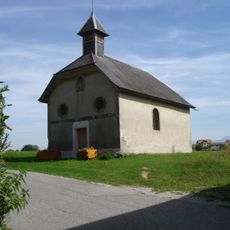
Chapelle de Poisu
4.2 km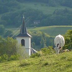
Église Notre-Dame-de-l'Assomption de Moye
3.9 km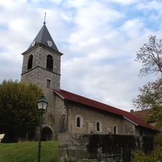
Église Saint-Martin d'Anglefort
4.8 km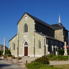
Église Saint-Jean-Baptiste de Massingy
7.7 km
Église Saint-François-de-Sales de Vallières
5.7 km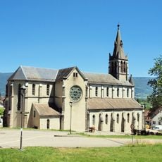
Église Saint-Martin de Culoz
7.7 km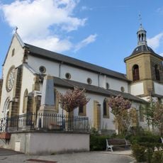
Église Saint-Pierre de Sales
7.6 km
Town hall of Culoz
7.8 km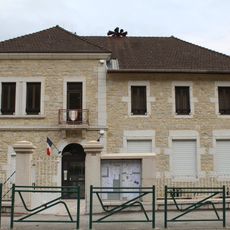
Mairie d'Anglefort
5.2 km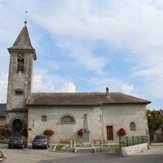
Église Saint-Quentin de Crempigny-Bonneguête
7.9 km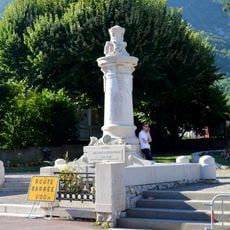
War memorial of Culoz
7.6 km
Château des Sarrasins of Châtel
5.7 km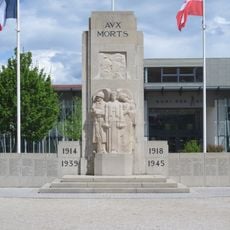
War memorial of Rumilly
6.9 km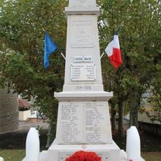
War memorial of Anglefort
5.2 km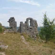
Ancienne église Saint-André de Val-de-Fier
5.5 km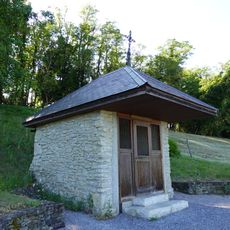
Chapelle Notre-Dame-de-la-Délivrance de Ligny
7.3 km
Chapelle Notre-Dame-de-l'Aumône de Rumilly
7.2 km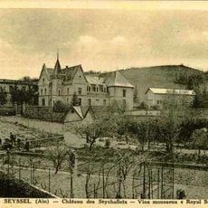
Château des Seychallets
7.7 km
Cemetery cross of Culoz
6.9 kmReviews
Visited this place? Tap the stars to rate it and share your experience / photos with the community! Try now! You can cancel it anytime.
Discover hidden gems everywhere you go!
From secret cafés to breathtaking viewpoints, skip the crowded tourist spots and find places that match your style. Our app makes it easy with voice search, smart filtering, route optimization, and insider tips from travelers worldwide. Download now for the complete mobile experience.

A unique approach to discovering new places❞
— Le Figaro
All the places worth exploring❞
— France Info
A tailor-made excursion in just a few clicks❞
— 20 Minutes