
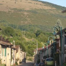
Scenic viewpoint
Location: Villechantria
Location: Val-Suran
GPS coordinates: 46.37685,5.42599
Latest update: October 24, 2025 17:39
Mont Myon
5.8 km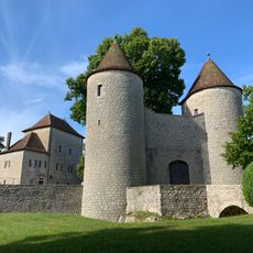
Château d'Andelot
5.4 km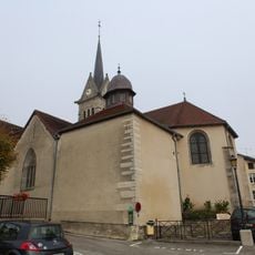
Église Saint-Jean-Baptiste de Saint-Julien
2.9 km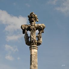
Calvaire de Dingier
4.9 km
Moulin de Pont des Vents
5.3 km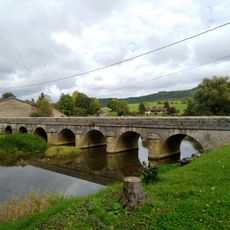
Pont des Vents
5.3 km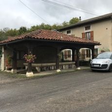
Fontaine-lavoir de Villechantria
1.1 km
Église Sainte-Catherine de Montfleur
5.2 km
Montfleur
5.4 km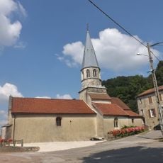
Église Saint-Jean-Baptiste de Saint-Jean-d'Étreux
6.1 km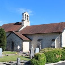
Église Sainte-Madeleine de Pouillat
5.5 km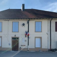
Town hall of Pouillat
5.5 km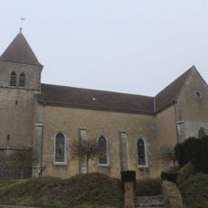
Église Saints-Victor-et-Ours d'Épy
2.2 km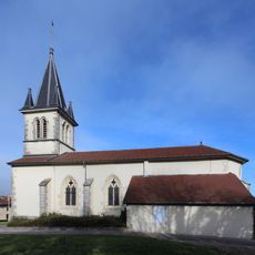
Église Sainte-Anne de Lains
4.9 km
Église de l'Assomption-de-la-Mère-de-Dieu de Louvenne
5.9 km
Église Saint-Cyr-et-Sainte-Julitte d'Andelot-lès-Saint-Amour
5.4 km
Église Saint-Étienne de Montagna-le-Templier
3.4 km
Église Saint-Clair de Villechantria
1.2 km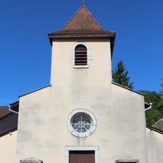
Église Saint-Gengulphe de Bourcia
2.9 km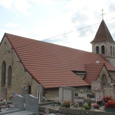
Église Saint-Pierre-ès-Liens de Dessia
5.8 km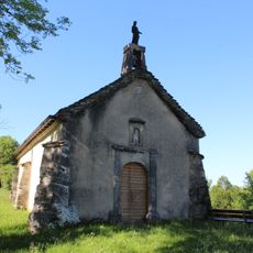
Chapelle Saint-Jean-Baptiste de Pouillat
5.4 km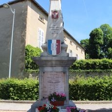
War memorial of Coligny
6.1 km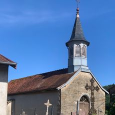
Chapelle Saint-Léger de Civria
4 km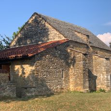
Chapelle Saint-Rémi de Saint-Rémy-du-Mont
5.7 km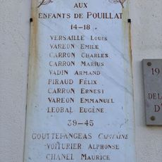
War memorial of Pouillat
5.5 km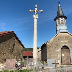
Croix de cimetière de Civria
4 km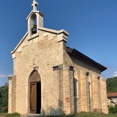
Chapelle Notre-Dame-du-Sacré-Cœur de Dingier
4.8 km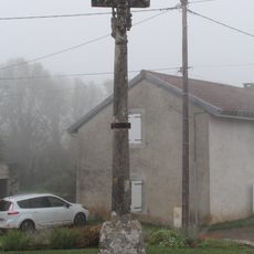
Croix de Thoissia
5.6 kmReviews
Visited this place? Tap the stars to rate it and share your experience / photos with the community! Try now! You can cancel it anytime.
Discover hidden gems everywhere you go!
From secret cafés to breathtaking viewpoints, skip the crowded tourist spots and find places that match your style. Our app makes it easy with voice search, smart filtering, route optimization, and insider tips from travelers worldwide. Download now for the complete mobile experience.

A unique approach to discovering new places❞
— Le Figaro
All the places worth exploring❞
— France Info
A tailor-made excursion in just a few clicks❞
— 20 Minutes