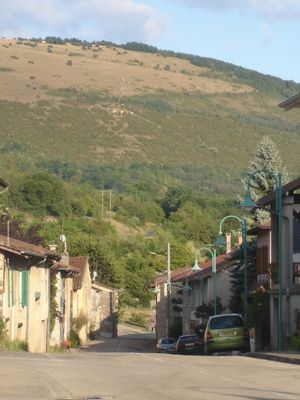
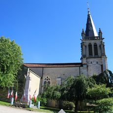
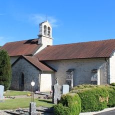
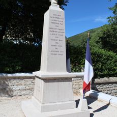
Mont Myon, Protected mountain summit in Courmangoux, France.
Mont Myon is a protected mountain summit near Courmangoux with sedimentary rock formations that create varied ecological zones for observing local plants and animals. The site is designated as a natural area of ecological interest, protecting both its landscape and wildlife habitats.
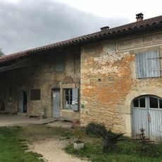
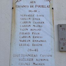
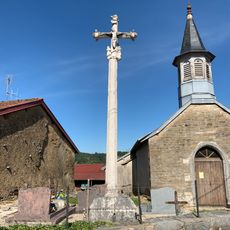
The mountain area contains an 18th-century castle built by the Goyffon family, reflecting the region's past settlements and aristocratic history. Underground, the natural Bornets cave was first explored in the early 1900s, adding to the site's historical richness.
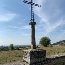
The summit hosts an orientation table that helps visitors recognize the geographical features of the surrounding landscape and understand the natural regions beyond. Local communities use the mountain as a reference point for understanding their environmental heritage.
Hiking trails start from Chevignat village and offer routes of varying difficulty and duration for different fitness levels and available time. Wear sturdy hiking boots and bring a jacket, as conditions on the open mountain terrain can change quickly.
The summit is a certified free flight site where paragliders can launch and experience the landscape from above while in flight. This makes it a special spot for people seeking adventure sports combined with aerial views of the region.
Location: Courmangoux
Location: Val-Revermont
Elevation above the sea: 662 m
Made from material: sedimentary rock
GPS coordinates: 46.32861,5.39884
Latest update: December 14, 2025 11:22
Moulin de Pont des Vents
3.4 km
Église Saint-Laurent de Pressiat
1.2 km
Pont des Vents
3.5 km
Église Saint-Hippolyte de Verjon
4.2 km
Église Sainte-Catherine de Montfleur
2.9 km
Montfleur
3 km
Église Saint-Clément de Cuisiat
3.2 km
Église Saint-Oyen de Courmangoux
2.2 km
Église Sainte-Madeleine de Pouillat
2.3 km
Town hall of Pouillat
2.3 km
War memorial of Courmangoux
2.2 km
Mairie de Courmangoux
2.2 km
Chapelle Saint-Sébastien de Chevignat
1.2 km
Église Saint-Gengulphe de Bourcia
2.9 km
Chapelle Saint-Léger de Civria
2.6 km
Chapelle Saint-Jean-Baptiste de Pouillat
2.3 km
Mairie de Pressiat
1.2 km
Monument des Déportés de Courmangoux
2.7 km
War memorial of Cuisiat
3.2 km
War memorial of Pressiat
1.2 km
War memorial of Pouillat
2.3 km
Cemetery cross of Pressiat
1.2 km
Croix de cimetière de Civria
2.6 km
Cemetery cross of Courmangoux
2.1 km
Cemetery cross of Germagnat
4.2 km
Cemetery cross of Cuisiat
3.8 km
Town hall of Cuisiat
3.2 km
Cemetery cross of Pouillat
2.5 kmVisited this place? Tap the stars to rate it and share your experience / photos with the community! Try now! You can cancel it anytime.
Discover hidden gems everywhere you go!
From secret cafés to breathtaking viewpoints, skip the crowded tourist spots and find places that match your style. Our app makes it easy with voice search, smart filtering, route optimization, and insider tips from travelers worldwide. Download now for the complete mobile experience.
A unique approach to discovering new places❞
— Le Figaro
All the places worth exploring❞
— France Info
A tailor-made excursion in just a few clicks❞
— 20 Minutes