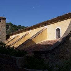
Drinking fountain, water well
Location: Bormes-les-Mimosas
GPS coordinates: 43.15214,6.34138
Latest update: November 16, 2025 16:56
Église Saint-Trophyme de Bormes-les-Mimosas
85 m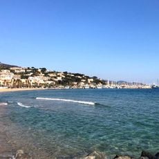
Grande Plage du Lavandou
2.9 km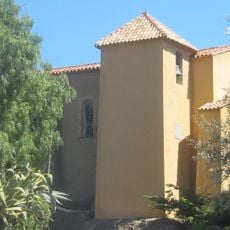
Chapelle Saint-François-de-Paule de Bormes-les-Mimosas
265 m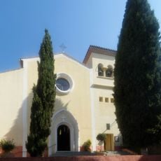
Église Saint-Louis du Lavandou
2.8 km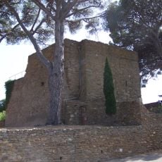
Château des seigneurs de Fos
60 m
Musée d'arts et d'histoire de Bormes-les-Mimosas
162 m
Scenic viewpoint
16 m
Scenic viewpoint
2.7 km
Scenic viewpoint
459 m
Place Hippolyte Bouchard
35 m
War memorial, memorial
279 m
La Bouchonnerie
208 m
Saint-François de Paule
252 m
Obelisk, memorial
2.7 km
Tristan et Yseult
120 m
Wayside cross
97 m
Jean-Charles Cazin
279 m
Mémorial Marechal Juin
2.4 km
La bouchonnerie
198 m
Mémorial Ernest Reyer
2.8 km
Plaque libération par Commandos d'Afrique
585 m
Wayside shrine
453 m
Wayside shrine
388 m
Wayside shrine
299 m
Wayside shrine
261 m
Wayside shrine
199 m
Wayside shrine
125 m
Cascade de Saint Clair
2.5 kmReviews
Visited this place? Tap the stars to rate it and share your experience / photos with the community! Try now! You can cancel it anytime.
Discover hidden gems everywhere you go!
From secret cafés to breathtaking viewpoints, skip the crowded tourist spots and find places that match your style. Our app makes it easy with voice search, smart filtering, route optimization, and insider tips from travelers worldwide. Download now for the complete mobile experience.

A unique approach to discovering new places❞
— Le Figaro
All the places worth exploring❞
— France Info
A tailor-made excursion in just a few clicks❞
— 20 Minutes