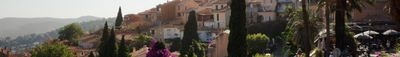
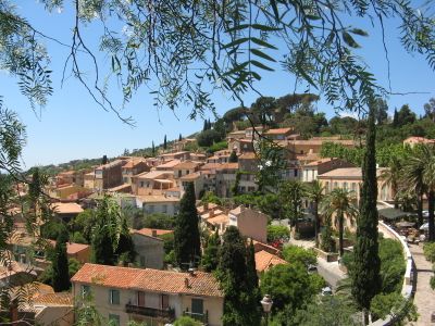
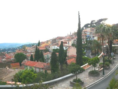
Bormes-les-Mimosas, Medieval village in Var department, France.
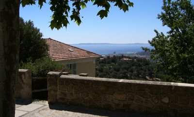
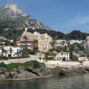
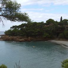
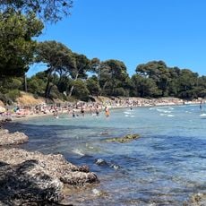
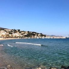
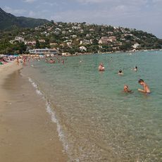
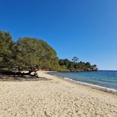
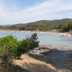
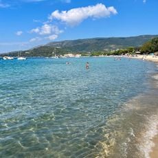
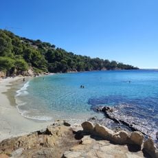
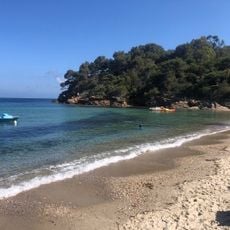
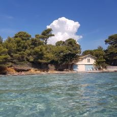
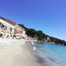
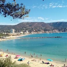
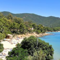
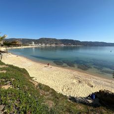
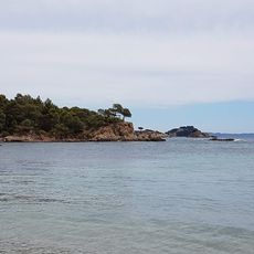
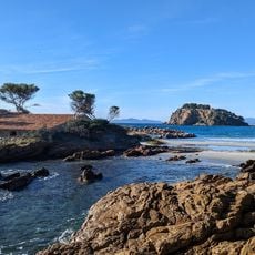
Bormes-les-Mimosas is a commune on France's southern coast that stretches from hillside terrain to the Mediterranean Sea. The old village sits at roughly 150 meters elevation with narrow stone-paved streets and traditional stone buildings, while the coastal district of La Favière offers a marina, beaches, and recreational spaces.
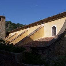
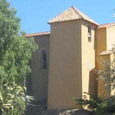
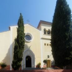
The settlement originated in Roman times and was later redeveloped as a medieval village. The old quarter retains architectural elements spanning different historical periods, reflecting centuries of habitation and evolution.
The name comes from the mimosa flowers that bloom here during winter months, shaping local identity and visitor experience. The community marks this botanical heritage through seasonal celebrations and the everyday presence of these yellow blooms throughout the hillside.
The village is best explored on foot, as the old streets are narrow and steep with uneven surfaces. The coastal area of La Favière is easily accessible and provides parking, beach access, and outdoor recreation options.
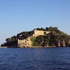
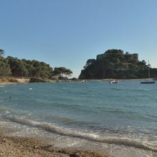
Fort de Brégançon, located within the commune, serves as the official retreat residence for France's president. Though visible from certain vantage points, the fortress remains private and adds an intriguing historical layer to the area's landscape.
Location: canton of Collobrières
Location: Var
Location: arrondissement of Toulon
Elevation above the sea: 171 m
Shares border with: Collobrières, Le Lavandou, La Londe-les-Maures, La Môle
Address: 83230 Bormes-les-Mimosas, France
Phone: +33494053450
Email: courrier@ville-bormes.fr
Website: http://ville-bormes.fr
GPS coordinates: 43.15167,6.34306
Latest update: December 12, 2025 18:17
Fort de Brégançon
6.8 km
Château Faraghi
8 km
Villa La Reine Jeanne
6.8 km
Plage de l'Estagnol
6 km
Église Saint-Trophyme de Bormes-les-Mimosas
61 m
Phare du cap Bénat
7.2 km
Menhirs de la Ferme Lambert
7.2 km
Grande Plage du Lavandou
2.7 km
Chapelle Saint-François-de-Paule de Bormes-les-Mimosas
121 m
Arboretum de Gratteloup
3.1 km
Église Saint-Louis du Lavandou
2.7 km
Plage de Saint-Clair
3.4 km
Plage du Pellegrin
6.5 km
Plage de Cabasson
6 km
Plage de Cavalière
7.1 km
Plage de Jean Blanc
5.6 km
Plage de Pramousquier
8.6 km
Plage de Brégançon
6.4 km
Plage du Grand Jardin
5.6 km
Plage d'Aiguebelle
4.9 km
Plage de l'Anglade
3.1 km
Plage du Rossignol
6.2 km
Plage du Layet
6.3 km
Plage de Léoube
6.2 km
Plage de la Favière
3.9 km
Plage du cap Léoube
6.3 km
Drinking fountain, water well
146 m
Plage de la Reine Jeanne
6.8 kmVisited this place? Tap the stars to rate it and share your experience / photos with the community! Try now! You can cancel it anytime.
Discover hidden gems everywhere you go!
From secret cafés to breathtaking viewpoints, skip the crowded tourist spots and find places that match your style. Our app makes it easy with voice search, smart filtering, route optimization, and insider tips from travelers worldwide. Download now for the complete mobile experience.
A unique approach to discovering new places❞
— Le Figaro
All the places worth exploring❞
— France Info
A tailor-made excursion in just a few clicks❞
— 20 Minutes