
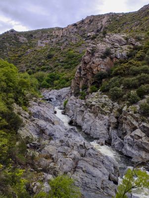
Gorges de la Guillera, أخدود في فرنسا
Location: Rodès
Elevation above the sea: 169.1 m
GPS coordinates: 42.66081,2.56555
Latest update: June 23, 2025 10:08

Lac de Vinça
2.9 km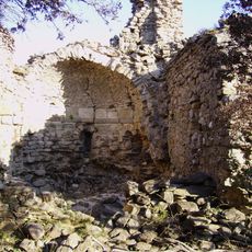
Église Saint-Félix de Ropidera
2 km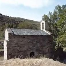
Église Saint-Nazaire de Barbadell
2.9 km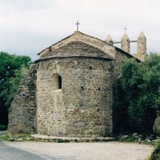
Église Saint-Sauveur de Casesnoves
2.6 km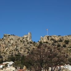
Château de Rodès
258 m
Église Saint-Julien-et-Sainte-Baselisse de Vinça
3.5 km
Église Notre-Dame de Domanova
2.8 km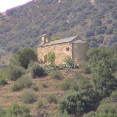
Église Saint-Pierre de Belloch
1.7 km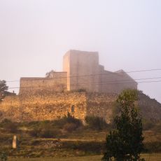
Castle of Montalba-le-Château
4 km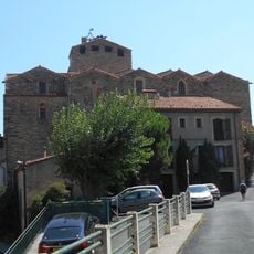
Church of Saint-Sulpice in Bouleternère
2.2 km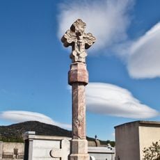
Croix de cimetière de Vinça
3.5 km
Croix Noell
3.2 km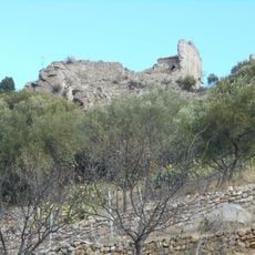
Église Saint-Valentin de Rodès
245 m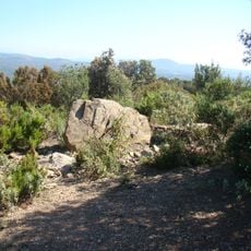
Dolmen du Camp Gran II
3.9 km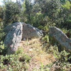
Dolmen de Valltorta
3.8 km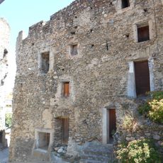
Château de Bouleternère
2.2 km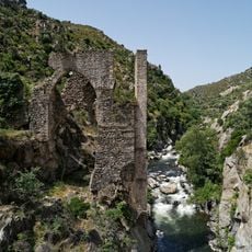
Pont aqueduc d'en Labau
311 m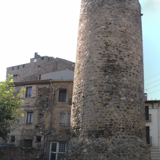
Fortified town of Bouleternère
2.2 km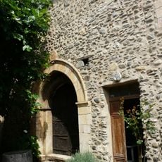
Église Sainte-Marie de Bouleternère
2.2 km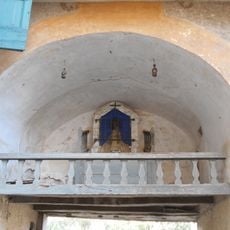
Église Notre-Dame-de-l'Espérance de Vinça
3.5 km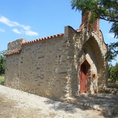
Chapelle Sainte-Anne de Bouleternère
1.2 km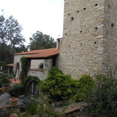
Ancienne église Sainte-Marie d'Ille-sur-Têt
2.9 km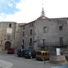
Cellera de Catllar
3.5 km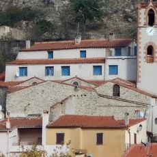
Église Saint-Jean-l'Évangéliste de Rodès
356 m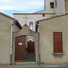
Santa Maria de Vinçà
3.7 km
Sant Sebastià de l'Hospital
3.5 km
Église Notre-Dame-de-l’Assomption de Rodès
350 m
Presa de Vinçà
1.8 kmReviews
Visited this place? Tap the stars to rate it and share your experience / photos with the community! Try now! You can cancel it anytime.
Discover hidden gems everywhere you go!
From secret cafés to breathtaking viewpoints, skip the crowded tourist spots and find places that match your style. Our app makes it easy with voice search, smart filtering, route optimization, and insider tips from travelers worldwide. Download now for the complete mobile experience.

A unique approach to discovering new places❞
— Le Figaro
All the places worth exploring❞
— France Info
A tailor-made excursion in just a few clicks❞
— 20 Minutes