
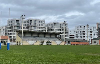
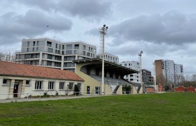
Stade Raoul-Montbrand, stade de Pantin, en France
Location: Pantin
Inception: 1938
Address: 202 avenue Jean-Jaurès 93500 Pantin
GPS coordinates: 48.91572,2.40695
Latest update: June 23, 2025 10:57
Avicenne Hospital
1.2 km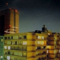
Tour La Villette
2.1 km
Gare de Bobigny
1.8 km
Theater of the Commune
1.8 km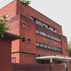
Piscine de Pantin
2.1 km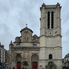
Church of Notre-Dame-des-Vertus, Aubervilliers
1.8 km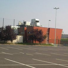
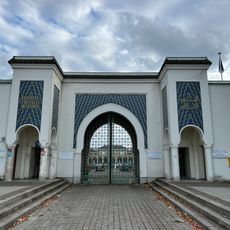
Mosquée de Drancy
1.4 km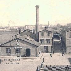
Siège de la Documentation française
1.3 km
Town hall of Aubervilliers
1.9 km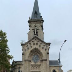
Église Sainte-Marthe des Quatre-Chemins
1.4 km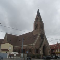
Église Saint-Yves des Quatre-Routes de La Courneuve
603 m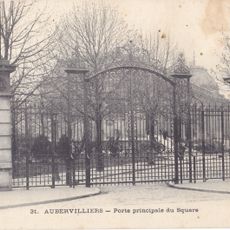
Square de Stalingrad
1.8 km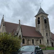
Église Saint-Lucien de La Courneuve
2.1 km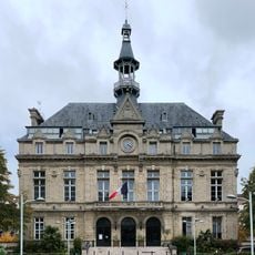
Town hall of La Courneuve
1.8 km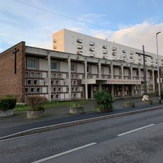
Église de Tous-les-Saints de Bobigny
833 m
Pont Palmers
1.4 km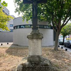
Croix de Milly
1.9 km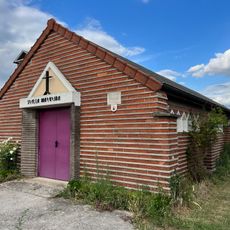
Chapelle Notre-Dame-de-l'Étoile
1.6 km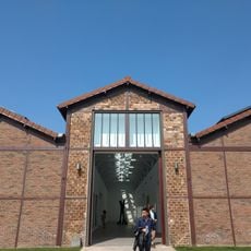
Galerie Thaddaeus Ropac
1.8 km
Salle Jacques-Brel
1.8 km
Oratoire de Padre-Pio
1.6 km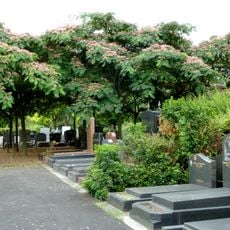
Jewish cemetery in Pantin
1 km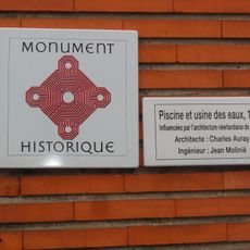
Usine élévatrice des eaux de Pantin
1.7 km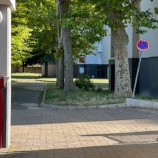
Square des Roses
1 km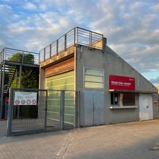
Stade Géo-André
1.2 km
Ancienne imprimerie de l'Illustration
848 m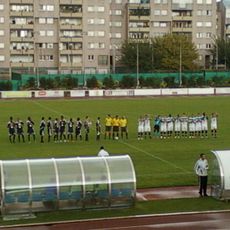
Stade André Karman
1.9 km
Tour de l'Illustration
905 mVisited this place? Tap the stars to rate it and share your experience / photos with the community! Try now! You can cancel it anytime.
Discover hidden gems everywhere you go!
From secret cafés to breathtaking viewpoints, skip the crowded tourist spots and find places that match your style. Our app makes it easy with voice search, smart filtering, route optimization, and insider tips from travelers worldwide. Download now for the complete mobile experience.

A unique approach to discovering new places❞
— Le Figaro
All the places worth exploring❞
— France Info
A tailor-made excursion in just a few clicks❞
— 20 Minutes