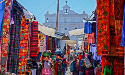
Chichicastenango Market, Market center in Chichicastenango, Guatemala
Chichicastenango Market spreads through streets and covered areas where sellers offer textiles, handicrafts, and fresh produce to visitors. A basketball court has been adapted as a selling area, adding more space for vendors to display their goods.
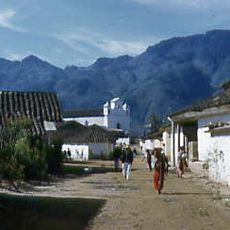
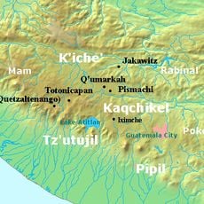
This trading site began over 500 years ago during the K'iche' Maya period and continued operating through Spanish colonial times to today. Its long history shows how the place has remained a commercial and community hub across different eras.
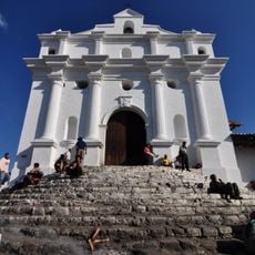
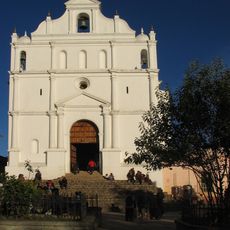
The market sits between three churches where K'iche' Maya sellers conduct trade in their own language and follow age-old customs. You can watch how this community still operates its business in traditional ways that reflect its roots.
Visit on Thursdays or Sundays when the market is most active and most stalls are open for business. Bring cash in Quetzales since credit cards are rarely accepted by vendors at their stands.
Hand-woven huipils, traditional Guatemalan garments, display patterns that are specific to different Maya communities in the region. Each design actually tells the story of the weaver's own community.
The community of curious travelers
AroundUs brings together thousands of curated places, local tips, and hidden gems, enriched daily by 60,000 contributors worldwide.