Great Plaza, Central square in Flores, Guatemala.
The Great Plaza forms the center of Flores island and is surrounded by colorful buildings, with stone pathways connecting different areas of the square. The layout features an open central gathering space flanked by shops, restaurants, and lodging buildings arranged around its perimeter.
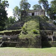
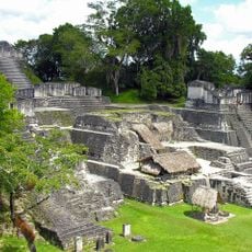
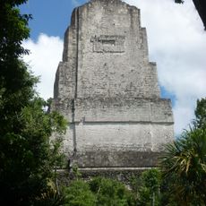
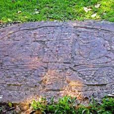
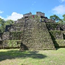
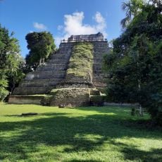
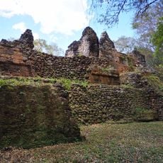
The plaza sits on the location of an ancient Maya settlement called Nojpeten, which remained independent until Spanish forces conquered it in 1697. This conquest marked the end of Maya independence in the region and led to the site's transformation under Spanish rule.
Artisans and vendors set up their wares in this square daily, offering handwoven textiles, wooden carvings, and local food specialties. The space functions as where locals handle everyday errands and gather, making it the beating center of island life.
The plaza serves as the main transportation hub with minibuses departing regularly to the Tikal archaeological site and other regional destinations. Visitors can easily reach various attractions from here, and numerous cafés and restaurants provide places to rest and eat.
In the evening, musicians perform on the plaza while boats on Lake Peten Itza ferry passengers around the island to watch the sunset. This combination of live music and water transport creates a special moment as daylight fades.
Location: Flores
GPS coordinates: 17.22202,-89.62364
Latest update: December 6, 2025 19:09
Guatemala offers photographers a mix of pre-Columbian sites, volcanic landscapes, and colonial buildings. The geography ranges from highland towns to rainforests and coastal areas along the Pacific and Caribbean. Ancient Maya temples stand alongside Spanish-era churches, while indigenous markets and traditional villages show cultural life. The landscape is marked by active and dormant volcanoes, often surrounded by coffee plantations. Places like Antigua Guatemala display colonial architecture with cobblestone streets and courtyards. Lake Atitlán sits between mountains and smaller communities. Tikal and other archaeological sites in the north preserve Maya structures within jungle settings. Chichicastenango Market is known for woven textiles and incense. Pacaya and Acatenango are accessible volcanoes, while Semuc Champey offers natural pools in a limestone forest. The variety of regions makes Guatemala a country with different perspectives in short distances.
Tikal
9 m
Tikal Temple I
62 m
Tikal National Park
951 m
Petén Basin
46.4 km
Yaxha
29.1 km
Uaxactún
18.9 km
Naranjo
39.7 km
San Bartolo
43.2 km
Tikal Temple IV
691 m
El Perú
53.5 km
Tikal Temple II
63 m
El Pilar
49.9 km
Tikal Temple V
258 m
Nakum
28.4 km
Tikal Temple 33
55 m
Tayasal
42.4 km
Tikal Temple III
262 m
Ixlu
28.6 km
La Blanca
40.4 km
Holtun
37.7 km
Xunantunich
53.3 km
Ucanal
49.1 km
Actún Can
45.8 km
Estadio Julián Tesucún
40 km
Sitio Arqueologico Yaxha
29.3 km
Yaxha Visitor Center
31.3 km
Museo Regional Del Mundo Maya
41.9 km
Parque Arqueológico Uaxactún
19.1 kmReviews
Visited this place? Tap the stars to rate it and share your experience / photos with the community! Try now! You can cancel it anytime.
Discover hidden gems everywhere you go!
From secret cafés to breathtaking viewpoints, skip the crowded tourist spots and find places that match your style. Our app makes it easy with voice search, smart filtering, route optimization, and insider tips from travelers worldwide. Download now for the complete mobile experience.
A unique approach to discovering new places❞
— Le Figaro
All the places worth exploring❞
— France Info
A tailor-made excursion in just a few clicks❞
— 20 Minutes