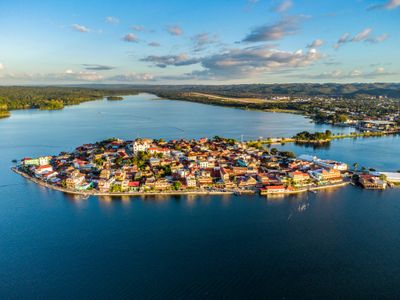
Flores, Colonial island city in Petén, Guatemala
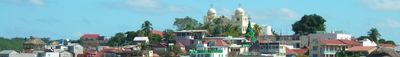
Flores sits on a small island in Lake Petén Itzá, connected to the mainland by a causeway with bright-colored buildings lining narrow cobblestone streets. The town occupies this confined space with dense, winding buildings that follow the water's edge throughout.
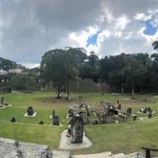
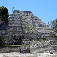
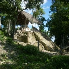
The settlement was first called Noh Peten and served as capital of the Itza Maya kingdom until Spanish conquistadors captured it in 1697. This conquest ended Maya independence in the region.
The streets here come alive during traditional festivals when local musicians play marimbas while vendors sell regional dishes and handmade textiles. These celebrations show how the town keeps its cultural practices alive for both residents and visitors.
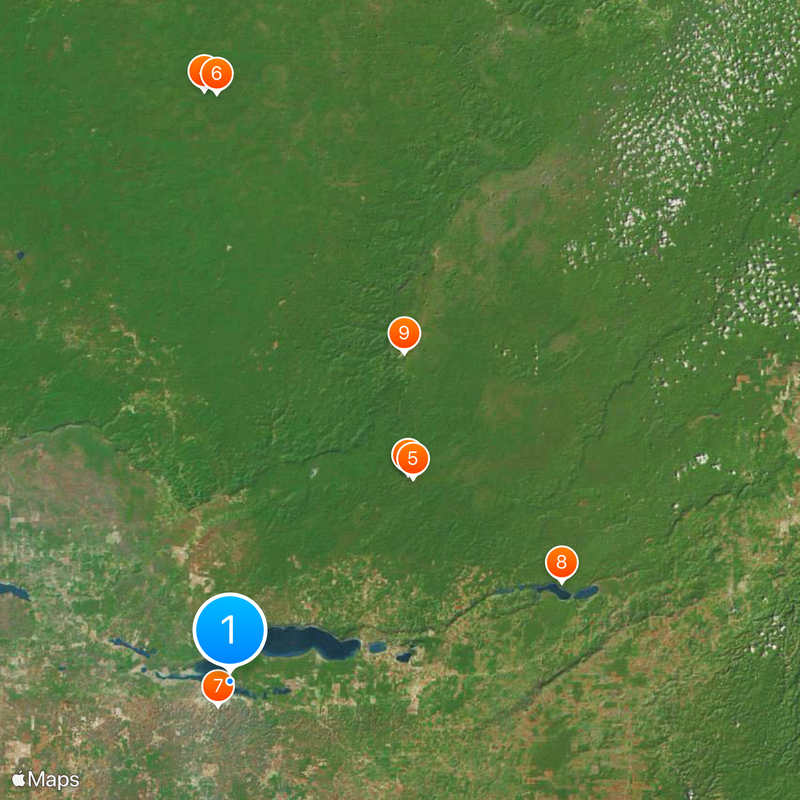
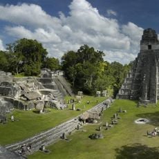
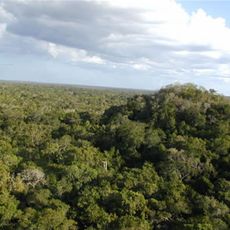
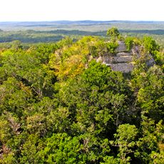
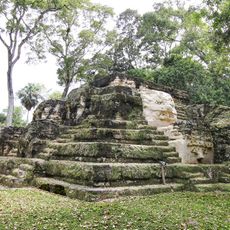
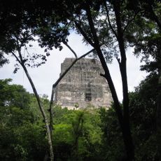
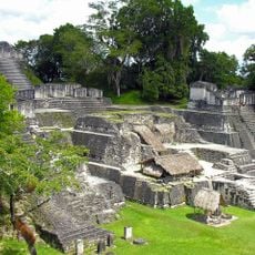
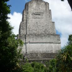
Travelers use this town as a hub to explore Mayan ruins at Tikal, with regular shuttle services departing from the central plaza to archaeological sites. The location makes it easy to plan day trips and visit multiple sites in the surrounding area.
The lake surrounding the entire urban center creates natural boundaries that have preserved the original colonial street layout from centuries ago. This natural enclosure is rare among settlements in the region.
The community of curious travelers
AroundUs brings together thousands of curated places, local tips, and hidden gems, enriched daily by 60,000 contributors worldwide.