Chest opened
+${chestReward.xp} XP
Explorer
NOUVEAU ×${chestReward.collectible.quantity}
tapez pour fermer

See the monuments around you in AR Open chests in the app

Around Us is built for your phone — point your camera at the streets and discover the monuments and places around you in augmented reality. Around Us is built for your phone — chests unlock when you walk, explore and capture nearby places.

•

Enable Location

We need your location to show you interesting places around you

Discover nearby places

Find interesting locations and hidden gems around you

Precise directions

Get accurate directions and distances to places

Your location is never shared with other users. It's only used when you tap the location button.

Petén Basin

Log in to your account

Start exploring — it's free

Trusted by 92,651 travelers worldwide

Continue with Google
Continue with Apple
or

We will send you a code to connect

By continuing, you accept our Terms and Conditions and our Privacy Policy

Check your inbox

We've sent a pincode in your inbox. Please enter the code below.

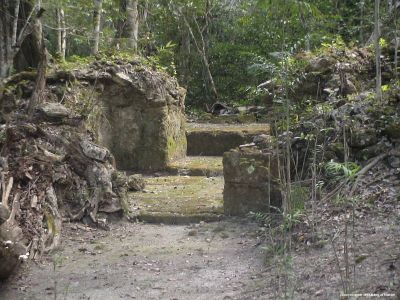
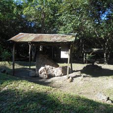
Petén Basin, Archaeological site in Petén, Guatemala.

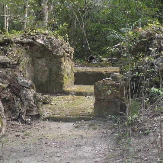
The Petén Basin is an archaeological site in the Petén region of northern Guatemala, covering a broad expanse of tropical rainforest. The landscape shifts between flat jungle and raised hills where the remains of ancient settlements can be found.

Settlements in the basin date from the second millennium BCE, with Cuello in Belize occupied from around 1200 BCE and maize cultivated by about 2800 BCE. El Mirador built causeways and structures 40 to 72 metres high before many centres were abandoned between 150 and 250 CE. The Classic period (c. 200–900 CE) saw Tikal and Calakmul flourish; the population fell by two-thirds between the mid 9th and mid 10th centuries.

The basin gave its name to the Petén architectural style, spread to other Maya regions, and to glyph-covered stelae whose decipherment rebuilt Classic-period history. The name Petén derives from the Itza word for island, applied to Tayasal in Lake Petén Itza. Visitors still see carved stelae at Tikal, Yaxhá and Naranjo.

Most visitors travel first to Flores, which serves as a starting point for excursions into the surrounding areas. From there, roads and trails lead to different ruin sites, with some only reachable by guides or longer hikes.

Below the dense canopy, many structures remain hidden that have been revealed through modern laser technology from the air. These discoveries show that the settlement was far denser than previously thought.

The community of curious travelers

AroundUs brings together thousands of curated places, local tips, and hidden gems, enriched daily by 92,651 contributors worldwide.
Start exploring
Location
GPS coordinates
16.90000,-89.90000
Latest update
October 25, 2026 06:57
Reviews
Share your experience

No review yet

Discussions
Start a discussion...

No discussion yet

« Petén Basin - Archaeological site in Petén, Guatemala » is provided by Around Us (aroundus.com). Images and texts are derived from Wikimedia project under a Creative Commons license. You are allowed to copy, distribute, and modify copies of this page, under the conditions set by the license, as long as this note is clearly visible.

Discover hidden gems everywhere you go!

From secret cafés to breathtaking viewpoints, skip the crowded tourist spots and find places that match your style. Our app makes it easy with voice search, smart filtering, route optimization, and insider tips from travelers worldwide. Download now for the complete mobile experience.

Around Us App Screenshot
❝

A unique approach to discovering new places❞

— Le Figaro

❝

All the places worth exploring❞

— France Info

❝

A tailor-made excursion in just a few clicks❞

— 20 Minutes

Around Us
Travel Guide & Maps
Download

Send to your phone

QR Code
1

Open the camera app on your mobile.

2

Point at the QR code with your camera. A notification will appear.

3

Tap the notification to open the link.