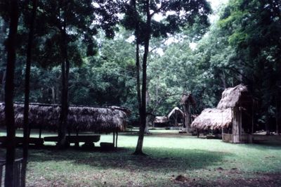
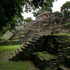
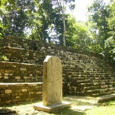
Dos Pilas, Maya archaeological site in Petén, Guatemala
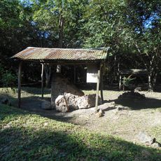
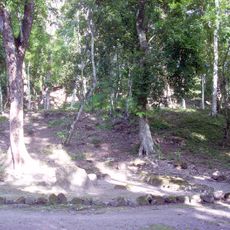
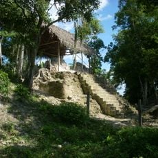
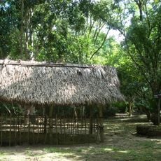
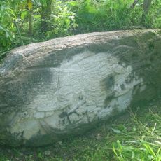
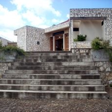
Dos Pilas spreads across roughly one square kilometer between two rivers and contains numerous temples, palaces, and residential buildings scattered throughout the terrain. The structures display the typical layout of a Maya city, with central plazas and surrounding architecture that would have housed both rulers and common people.
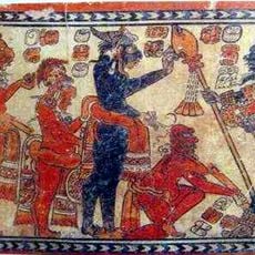
The settlement was founded around 629 CE as an outpost of a larger Maya city before shifting allegiance to a rival power a couple of decades later. This change in political control positioned the site as a key hub for trade and regional influence.
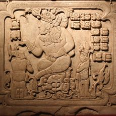
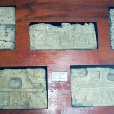
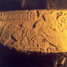
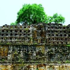
The carved texts on staircases and monuments tell stories of rulers and significant events in the ancient Maya language. Visitors can still see these inscriptions across many structures today, gaining a sense of how writing shaped memory and power in this society.
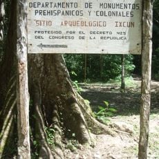
The site lies east of the Mexican border and is reached through the town of Sayaxche via road, requiring significant travel time to get there. The paths between the ruins can be rough and uneven, so sturdy footwear and proper preparation are necessary for exploring comfortably.
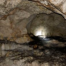
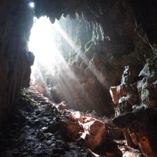
A cave system runs beneath the entire site and connects different areas of the former city center. These underground passages likely served religious ceremonies or refuge and add a hidden dimension to understanding how people moved through and used this place.
The community of curious travelers
AroundUs brings together thousands of curated places, local tips, and hidden gems, enriched daily by 60,000 contributors worldwide.