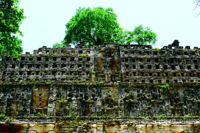
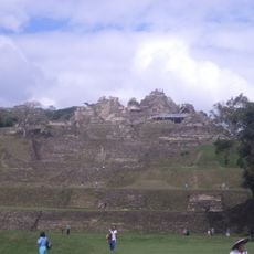
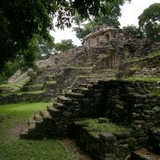
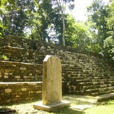
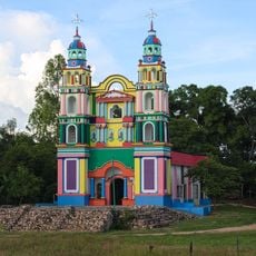
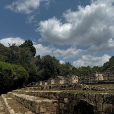
Zona arqueológica de Yaxchilan, Archaeological site in Ocosingo, Mexico.
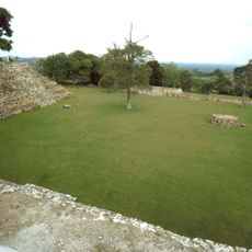
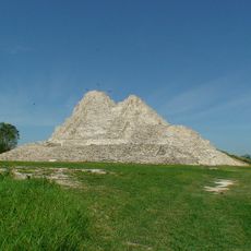
Yaxchilan is an archaeological complex with over 120 structures arranged along the Usumacinta River, featuring temples, palaces, and ceremonial buildings with carved stone details. These structures are distributed across different elevation levels created by Maya builders to fit the river landscape.
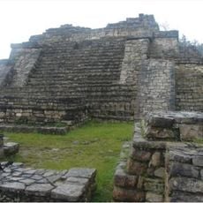
The site emerged as a political center between 250 and 800 CE under the rule of powerful leaders such as Shield Jaguar I and Bird Jaguar IV. This period saw repeated conflicts with neighboring Maya cities as different rulers vied for control of trade routes and resources.
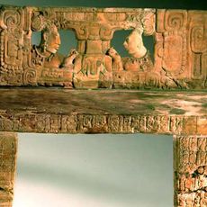
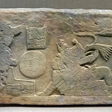
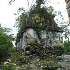
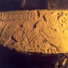
The carved stone panels throughout this location depict scenes of royal ceremonies, warfare, and religious rites that reveal how Maya rulers exercised power and conducted their daily lives. These reliefs show the importance of ritual and combat in their society.
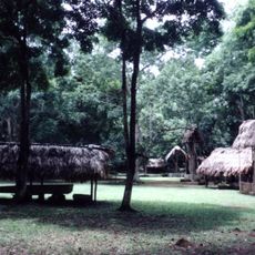
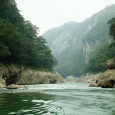
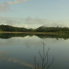
Access requires a boat ride along the Usumacinta River from Frontera Corozal, taking about 30 minutes each way. Visitors should wear sturdy shoes because the site involves walking over uneven ground and climbing through restored structures.
Temple 33 stands out for its exceptional stone lintels that show bloodletting rituals performed by rulers, a rare level of detail in Maya carving that documents religious practices not commonly seen elsewhere. These scenes reveal a side of ancient religion that most other sites do not depict with such clarity.
The community of curious travelers
AroundUs brings together thousands of curated places, local tips, and hidden gems, enriched daily by 60,000 contributors worldwide.