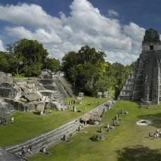
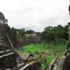
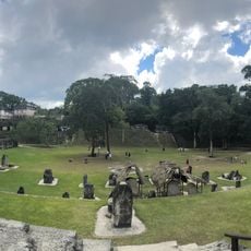
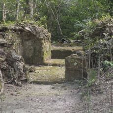
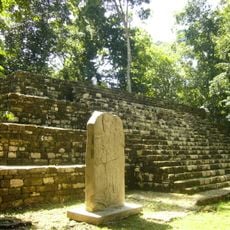
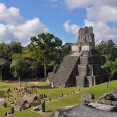
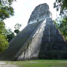
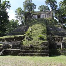
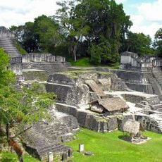
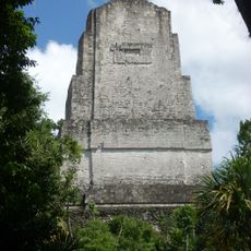
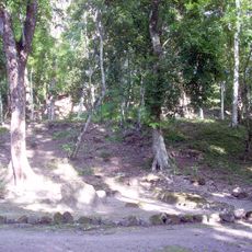
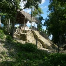
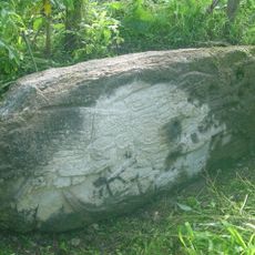
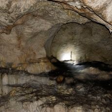
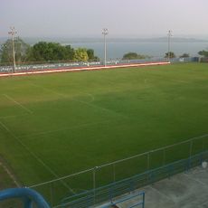
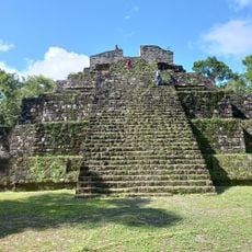
Tayasal, Maya archaeological site on Lake Petén Itzá peninsula, Guatemala.
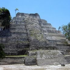
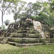
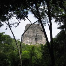
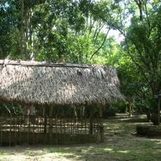
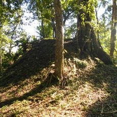
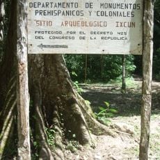
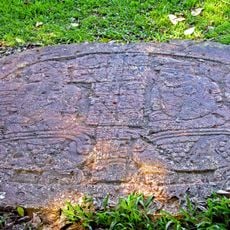
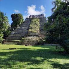
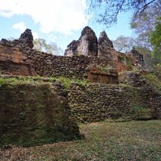
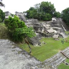
Tayasal is a Maya archaeological site on a peninsula in Lake Petén Itzá, about 270 m north of Flores. It covers roughly 2.75 sq km and holds 339 mapped structures: plazas, palaces, pyramid-temples, an acropolis, defensive walls, residences and a cenote. The Late Preclassic triadic pyramids Mirador del rey Can'Ek and Cerro Moo stand on the higher ground.
Occupation began in the Middle Preclassic (c. 1000–350 BC) and continued through the Late Postclassic (c. 1200–1539 AD). The Itza capital fell to Spanish forces in 1697, after which missions San Miguel and San Bernabé were established on the peninsula in 1702–1703. San Bernabé's population declined sharply in the 18th century due to high infant mortality.
The name Tayasal is a corruption of Tah Itza, "Place of the Itza", a term first used for the Itza capital; it was later misapplied to this peninsula, which now holds both the ruins and the village of San Miguel. Early colonial accounts report that the Itza frequently conducted rituals on the peninsula, and most Postclassic and colonial activity clustered on its southern shore.
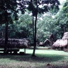
The site is next to the modern town of Flores and is easy to reach for visitors in the area. You can walk through the site, though some paths to the structures wind through thick vegetation and uneven terrain.
More than 300 structures have been identified here, including defensive walls that reveal how the settlement dealt with conflict. These fortifications are less visible than temples but show a harder side of community life that most visitors overlook.
The community of curious travelers
AroundUs brings together thousands of curated places, local tips, and hidden gems, enriched daily by 92,651 contributors worldwide.