Taralga Golf Course
Location: Taralga
Location: Upper Lachlan Shire Council
GPS coordinates: -34.42115,149.81559
Latest update: November 21, 2025 11:46
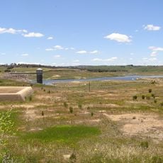
Pejar Dam
28.3 km
Tarlo River National Park
12.7 km
Bangadilly National Park
33.5 km
Catholic Church of Christ the King
1.8 km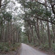
Mares Forest National Park
16.8 km
Hillas Farm Homestead
16 km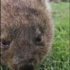
Tralaga Wildlife park
3.2 km
Todkill Park
31.1 km
Thoroughgood Park
33.6 km
White Park
33.6 km
Wombeyan Karst Conservation Reserve
19.3 km
Crookwell Library
32.1 km
Crocodile Beach
28.5 km
Crookwell Wind Farm Viewing Area
26.3 km
Crookwell Golf Club
31.6 km
Platypus Beach
28.3 km
Tiny's Beach
27.5 km
Scenic viewpoint
18.7 km
Brian's Lookout
28.3 km
Orchard Street Gallery
2 km
Broughtons Lookout
15.9 km
Scenic viewpoint
17.8 km
Mount Penang Lookout
31.7 km
Scenic viewpoint
28.2 km
St John the Evangelist Anglican Church Former
31.5 km
Memorial
1.8 km
Lanagans Falls
24 km
Tomat Falls
33.5 kmReviews
Visited this place? Tap the stars to rate it and share your experience / photos with the community! Try now! You can cancel it anytime.
Discover hidden gems everywhere you go!
From secret cafés to breathtaking viewpoints, skip the crowded tourist spots and find places that match your style. Our app makes it easy with voice search, smart filtering, route optimization, and insider tips from travelers worldwide. Download now for the complete mobile experience.

A unique approach to discovering new places❞
— Le Figaro
All the places worth exploring❞
— France Info
A tailor-made excursion in just a few clicks❞
— 20 Minutes